Map of Cumberland, Maryland
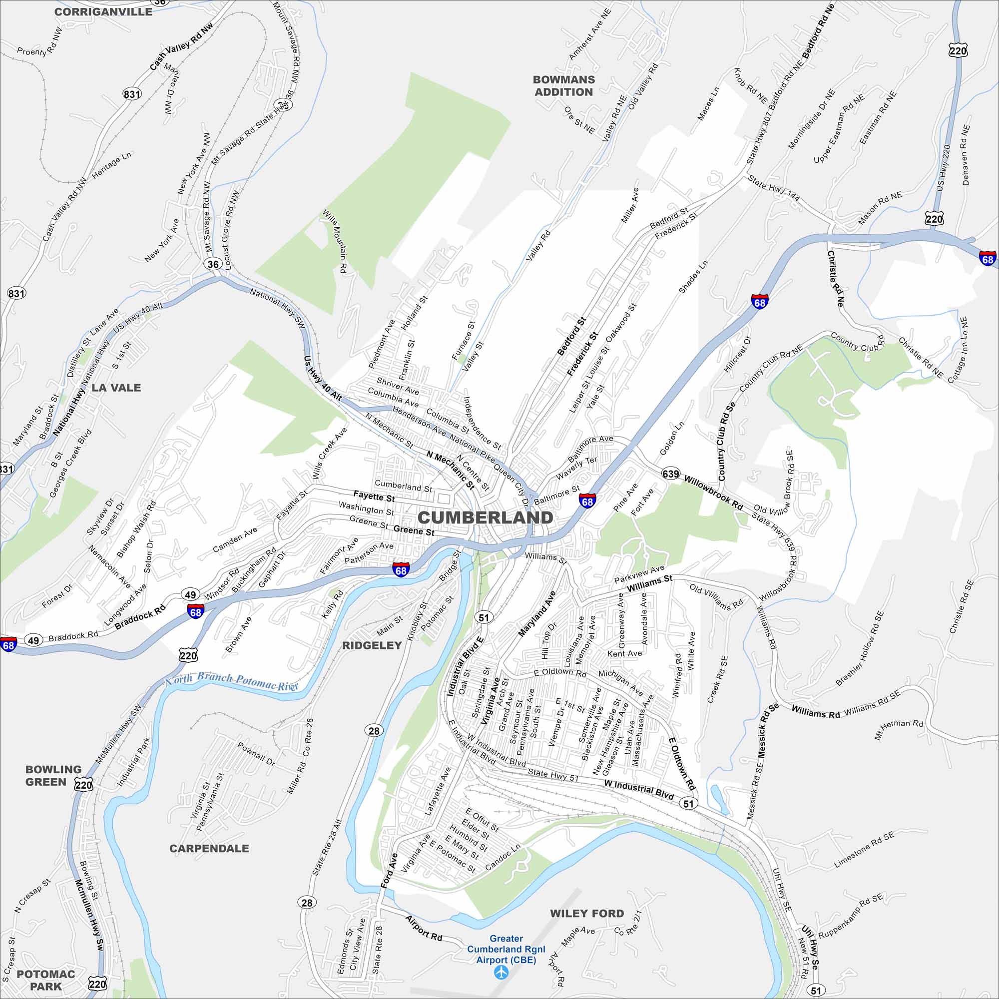
Cumberland is shown on our map with its roads and highways. Located in western Maryland, the city sits along the Potomac River. Otherwise, the Appalachian Mountains rise around it.
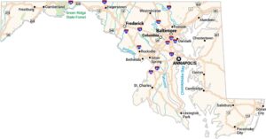
Maryland State Maps
See the geography of Maryland with our state maps


Map Information
On the Map
Interstates/Highways: I-68, US Hwy 40, US Hwy 220, State Hwy 28, State Hwy 36, State Hwy 49, State Hwy 51, State Hwy 144, State Hwy 639, State Hwy 807, State Hwy 831, National Hwy Major Roads: Industrial Blvd, Bedford St, Maryland Ave, Greene St, Frederick St, Henderson Ave, Mechanic St, Virginia Ave, Oldtown Rd, Willowbrook Rd, Messick Rd, Williams Rd, Parkview Ave, Fayette St, Washington St, Baltimore Ave, Valley Rd, Christie Rd, Mason Rd Airports: Greater Cumberland Rgnl Airport (CBE) Major Rivers: North Branch Potomac River Nearby Communities: Corriganville, Bowmans Addition, Ridgeley, Wiley Ford, Carpendale, Bowling Green, Potomac Park, La ValeCity Maps of Maryland
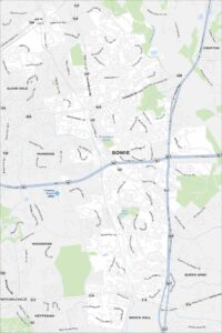
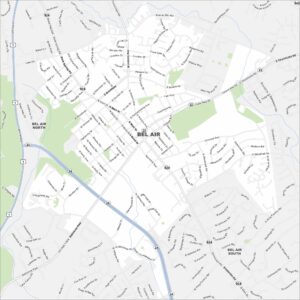
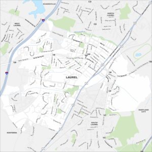
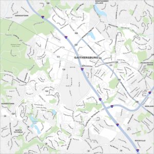
Here are our city maps of Maryland