Map of Copperas Cove, Texas
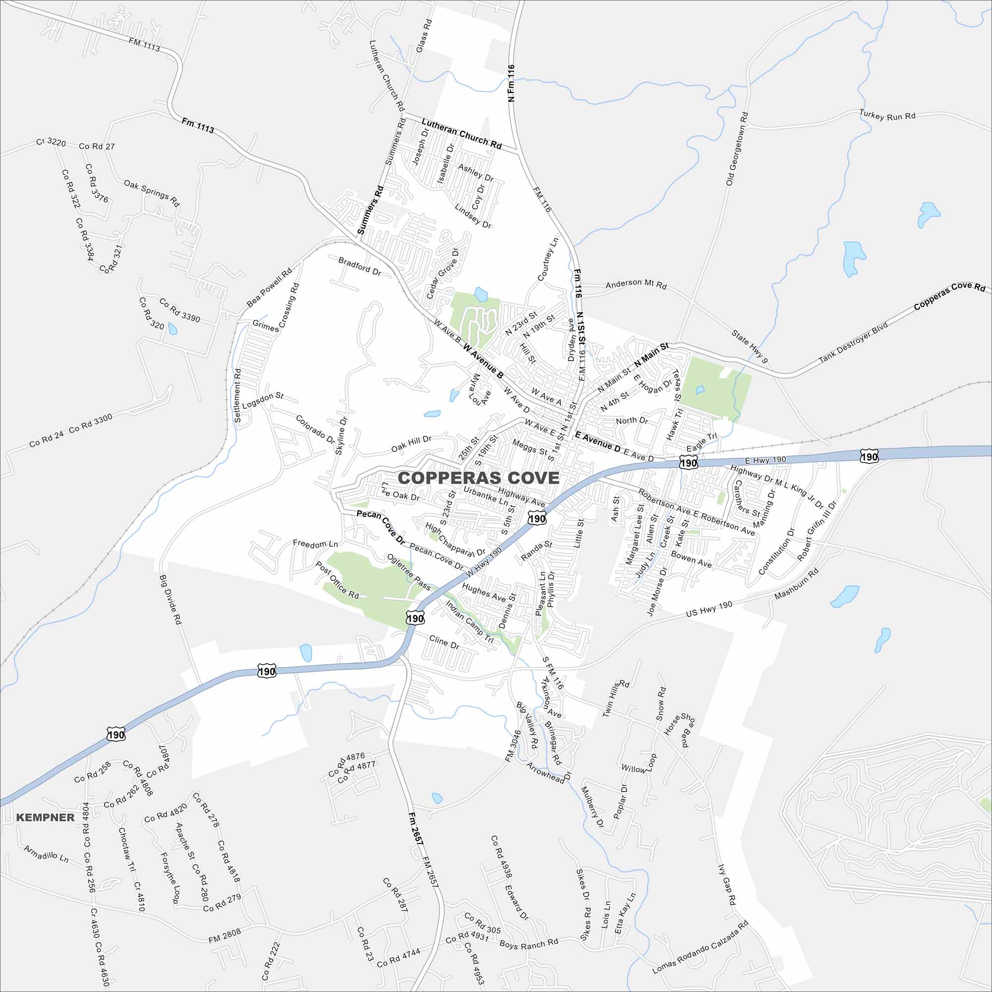
Check out our map of Copperas Cove with its streets, waterways, and open land. Known as the “City of Five Hills”, it lies near Fort Cavazos.
Map Information
On the Map
Interstates/Highways: US Hwy 190, State Hwy 9 Major Roads: Main St., Hwy 190, FM 116, FM 1113, W Ave. B, W Ave. D, FM 3046, FM 2657, FM 116, FM 2808, Courtney Ln., Big Divide Rd., Oak Hill Dr., Freedom Ln., Post Office Rd., Skyline Dr., Grimes Crossing Rd., Bradford Rd., Summers Rd., West Hwy 190 Nearby Communities: KempnerTexas State Maps
Scan our maps of the massive southern state of Texas.


City Maps of Texas
Explore our map collection of Texas cities.


