Map of Converse, Texas
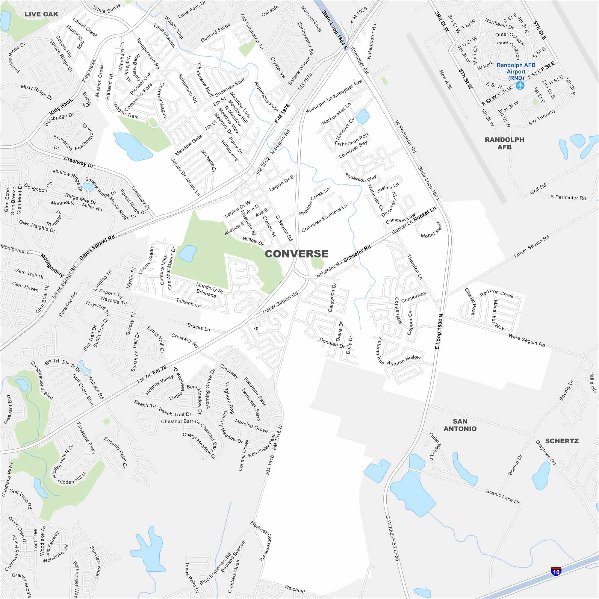
See Converse with its local highways, waterways and parks on our map. This San Antonio suburb is known for its family-friendly neighborhoods. The city lies near Cibolo Creek.
Map Information
On the Map
Interstates/Highways: I-10, State Rte 1604, State Rte 78 Major Roads: Seguin Rd, Schaefer Rd, Loop 1604, Gibbs Sprawl Rd, Rocket Ln, Kitty Hawk, FM 1516, FM 1976, FM 3502, FM 1518, Thornton Ln, Upper Seguin Rd, Lower Seguin Rd, Crestway Rd, Walzem Rd, Binz-Engleman Rd, Weichold Rd, Martinez Converse Rd, Copperway, Rocket Ln Airports: Randolph AFB Airport Nearby Communities: Live Oak, Randolph AFB, San Antonio, SchertzTexas State Maps
Scan our maps of the massive southern state of Texas.


City Maps of Texas
Explore our map collection of Texas cities.


