Map of Choctaw, Oklahoma
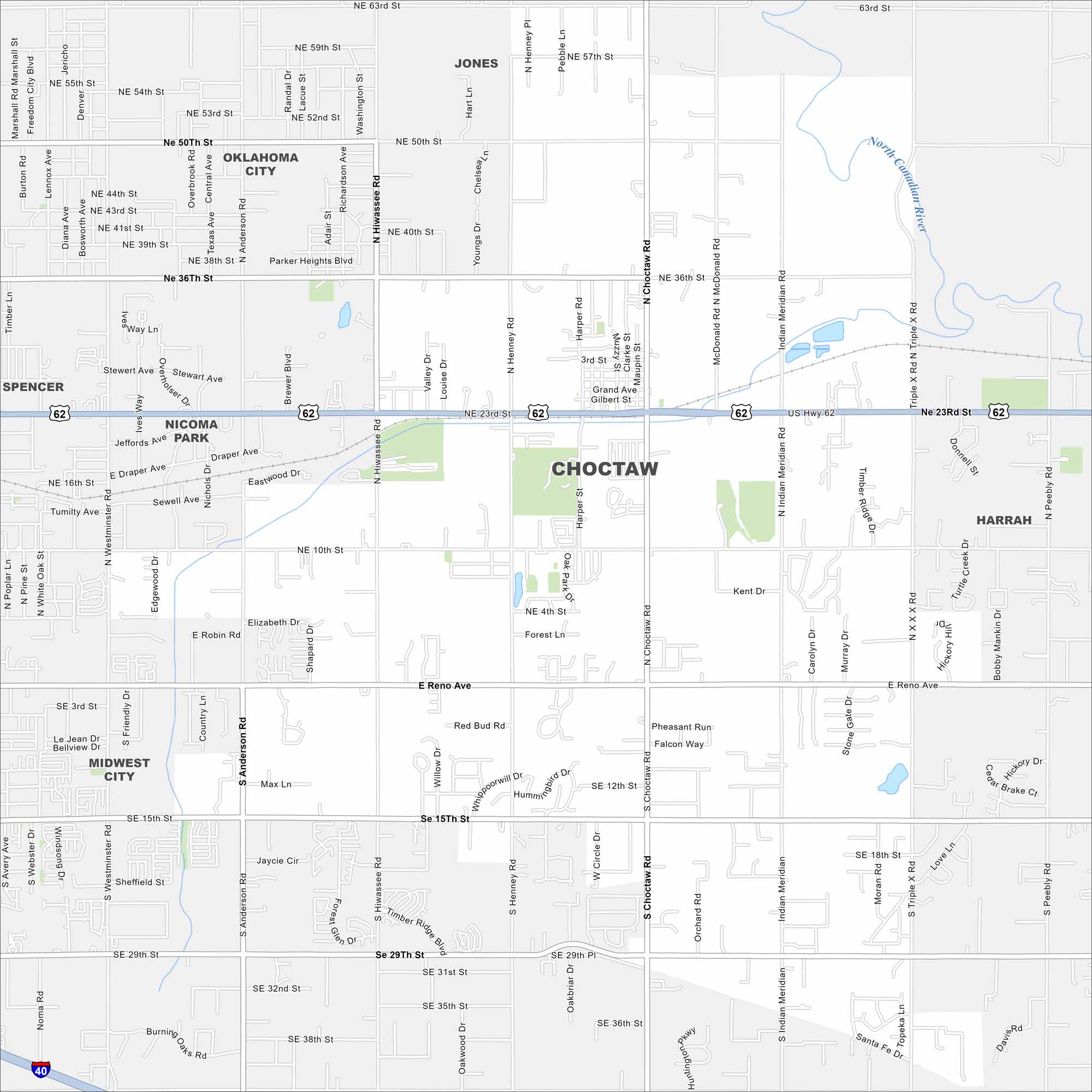
Our map of Choctaw highlights local roads, highways, and neighborhoods. You’ll find it east of Oklahoma City. But open prairies still surround much of the area.
Map Information
On the Map
Interstates/Highways: I-40, US Hwy 62 Major Roads: Choctaw Rd, Anderson Rd, Hiwassee Rd, Indian Meridian Rd, Henney Rd, Reno Ave, 15th St, 29th St, 36th St, 10th St, 23rd St, 50th St, 63rd St, Harper Rd, Peebly Rd, Triple X Rd, Timber Ridge Rd, Triple X Rd N, Triple X Rd S, Northeast 23rd St Major Rivers: North Canadian River Nearby Communities: Oklahoma City, Midwest City, Spencer, Nicoma Park, Harrah, JonesOklahoma State Maps
Here is our map collection of the Sooner State.


City Maps of Oklahoma
Explore Oklahoma’s cities with our maps


