Map of Chaska, Minnesota
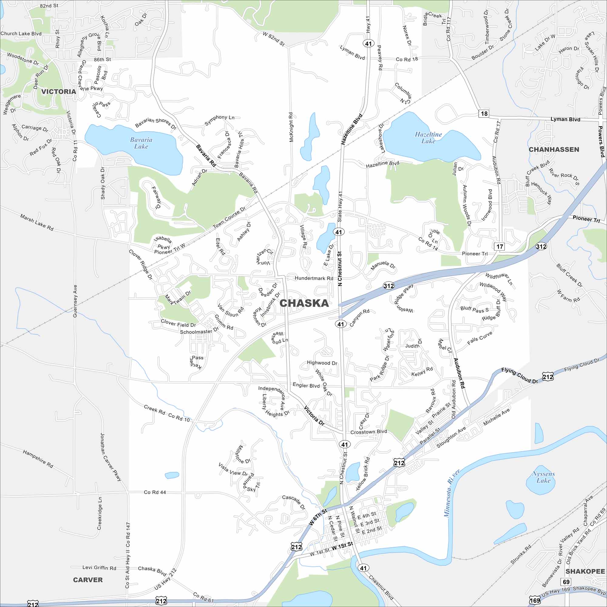
Here’s Chaska, Minnesota with its local roads and the Minnesota River along its edge. Southwest of Minneapolis, it has roots as a small river town. But today, parks and wetlands define much of its landscape.
Map Information
On the Map
Interstates/Highways: US Hwy 212, State Rte 41, State Rte 61 Major Roads: Chaska Blvd, Pioneer Trl, Engler Blvd, Hundertmark Rd, Lyman Blvd, Victoria Dr, Bavaria Rd, Hazeltine Blvd, Jonathan Carver Pkwy, 82nd St, Chestnut St, 4th St, 2nd St, 6th St, 1st St, Crosstown Blvd, Audubon Rd, Creek Rd Lakes and Reservoirs: Bavaria Lake, Hazeltine Lake, Nyssens Lake Major Rivers: Minnesota River Nearby Communities: Victoria, Chanhassen, Carver, ShakopeeMinnesota State Maps
Explore every lake in our state maps of Minnesota


Minnesota City Maps
Browse through our city maps of Minnesota


