Map of Charleston, West Virginia
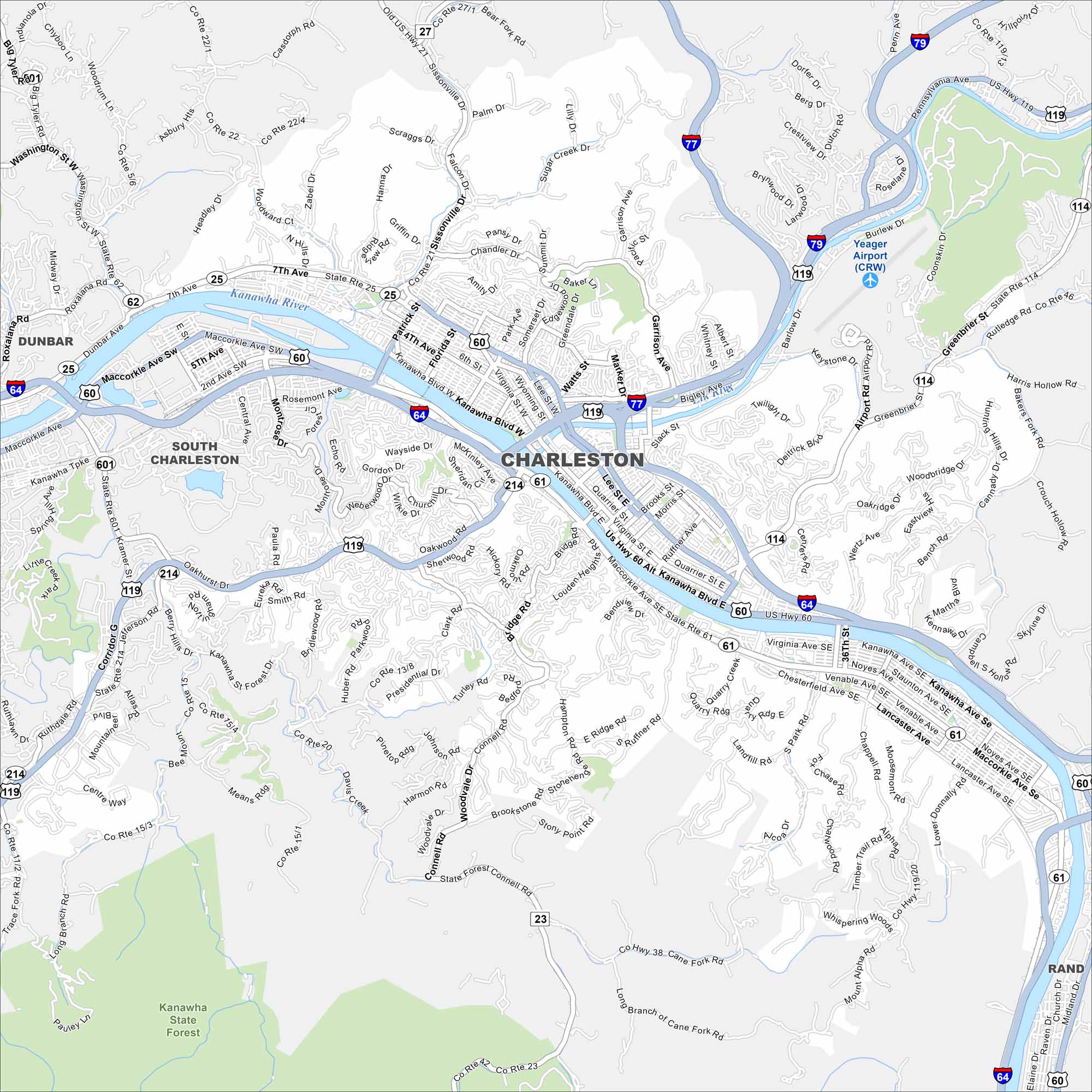
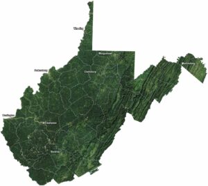
Charleston is shown with the Kanawha River winding through its center and highways crossing the valley. As the state capital, it’s surrounded by rolling Appalachian hills. The rivers are the city’s natural spine.
Map Information
On the Map
Interstates/Highways: I-64, I-77, I-79, US Hwy 60, US Hwy 119, State Rte 25, State Rte 61, State Rte 62, State Rte 214 Major Roads: MacCorkle Ave, Kanawha Blvd, Washington St, Lee St, Patrick St, Virginia St, Bigley Ave, Greenbrier St, Garrison Ave, Pennsylvania Ave, Sissonville Dr, Oakwood Rd, Bridge Rd, Corridor G, 7th Ave, Piedmont Rd, Quarrier St, Brooks St, Morris St, Ruffner Ave Airports: Yeager Airport (CRW) Major Rivers: Kanawha River Parks and Preserves: Kanawha State Forest Nearby Communities: South Charleston, Dunbar, RandWest Virginia State Maps
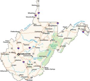
Browse our maps of the state of West Virginia.


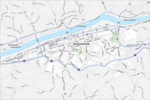
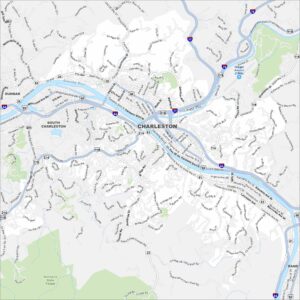
City Maps of West Virginia
Explore the geography of West Virginia