Map of Chanhassen, Minnesota
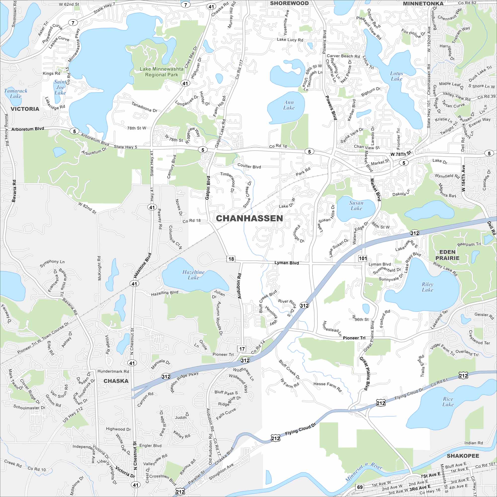
Our map of Chanhassen is filled with lakes and green spaces. The city is popular for its trails and outdoor recreation. It’s also known for Paisley Park, a landmark because of Prince’s legacy.
Map Information
On the Map
Interstates/Highways: US Hwy 212, State Rte 5, State Rte 41, State Rte 101, State Rte 312 Major Roads: Lyman Blvd, Powers Blvd, Galpin Blvd, Pioneer Trl, Arboretum Blvd, 78th St, 82nd St, Market Blvd, Dell Rd, Flying Cloud Dr, Coulter Blvd, Weston Ridge Pkwy, Audubon Rd, Laredo Dr, Kerber Blvd, Lake Dr, Minnewashta Pkwy, Hazeltine Blvd, Hundertmark Rd Airports: Lakes and Reservoirs: Lake Minnewashta, Lake Lucy, Ann Lake, Lotus Lake, Rice Lake, Susan Lake, Lake Riley, Hazeltine Lake Major Rivers: Minnesota River Parks and Preserves: Lake Minnewashta Regional Park Nearby Communities: Victoria, Chaska, Eden Prairie, Shorewood, Minnetonka, ShakopeeMinnesota State Maps
Explore every lake in our state maps of Minnesota


Minnesota City Maps
Browse through our city maps of Minnesota


