Map of Centennial, Colorado
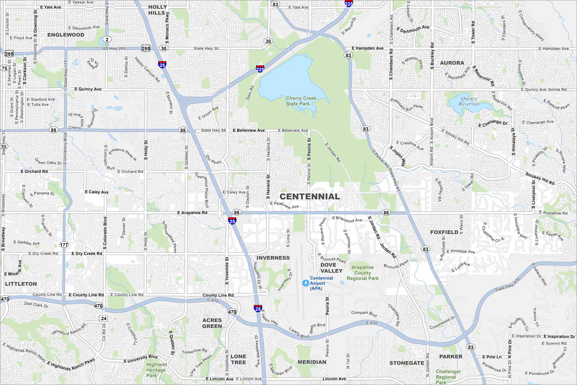
Centennial is a suburban city in the Denver metro. Our map highlights winding streets, open parks, and major roadways.
Colorado State Maps
Browse Colorado with our detailed state maps


Map Information
On the Map
Interstates/Highways: I-25, I-225, State Rte 30, State Rte 83, State Rte 88, State Rte 177, State Rte 470, US Hwy 285 Major Roads: Arapahoe Rd, University Blvd, Quebec St, Yosemite St, Parker Rd, Orchard Rd, Belleview Ave, Hampden Ave, County Line Rd, Dry Creek Rd, Broadway, Colorado Blvd, Holly St, Monaco Pkwy, Dayton St, Havana St, Peoria St, Jordan Rd, Chambers Rd, Smoky Hill Rd Airports: Centennial Airport (APA) Lakes and Reservoirs: Cherry Creek Reservoir, Quincy Reservoir Parks and Preserves: Cherry Creek State Park, Arapahoe County Regional Park, Highland Heritage Park Nearby Communities: Englewood, Aurora, Littleton, Foxfield, Lone Tree, Stonegate, Meridian, ParkerColorado City Maps
Here are maps of Colorado’s urban areas


