Map of Celina, Texas
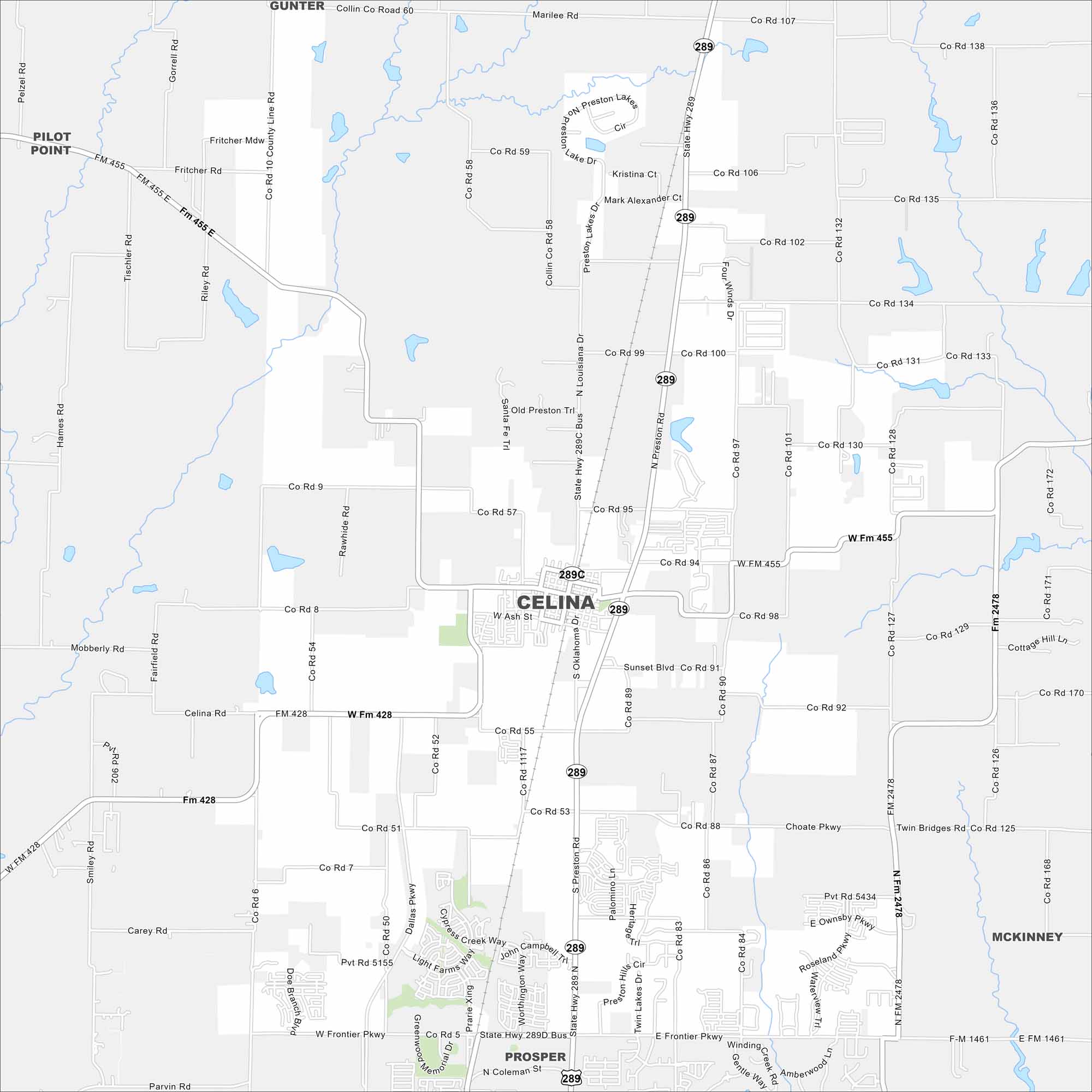
Our map of Celina shows a fast-growing city north of Dallas. Open land surrounds new neighborhoods and development. It feels rural at the edges but suburban at its core.
Map Information
On the Map
Interstates/Highways: State Rte 289, State Rte 289C, State Rte 455 Major Roads: Preston Rd, Frontier Pkwy, Choate Pkwy, Co Rd 8, Co Rd 132, Co Rd 100, Co Rd 53, Co Rd 55, Co Rd 9, Co Rd 58, Co Rd 428, Oklahoma Dr, Ash St, Louisiana Dr Nearby Communities: Gunter, Pilot Point, Prosper, McKinneyTexas State Maps
Scan our maps of the massive southern state of Texas.


City Maps of Texas
Explore our map collection of Texas cities.


