Map of Cedar Hill, Texas
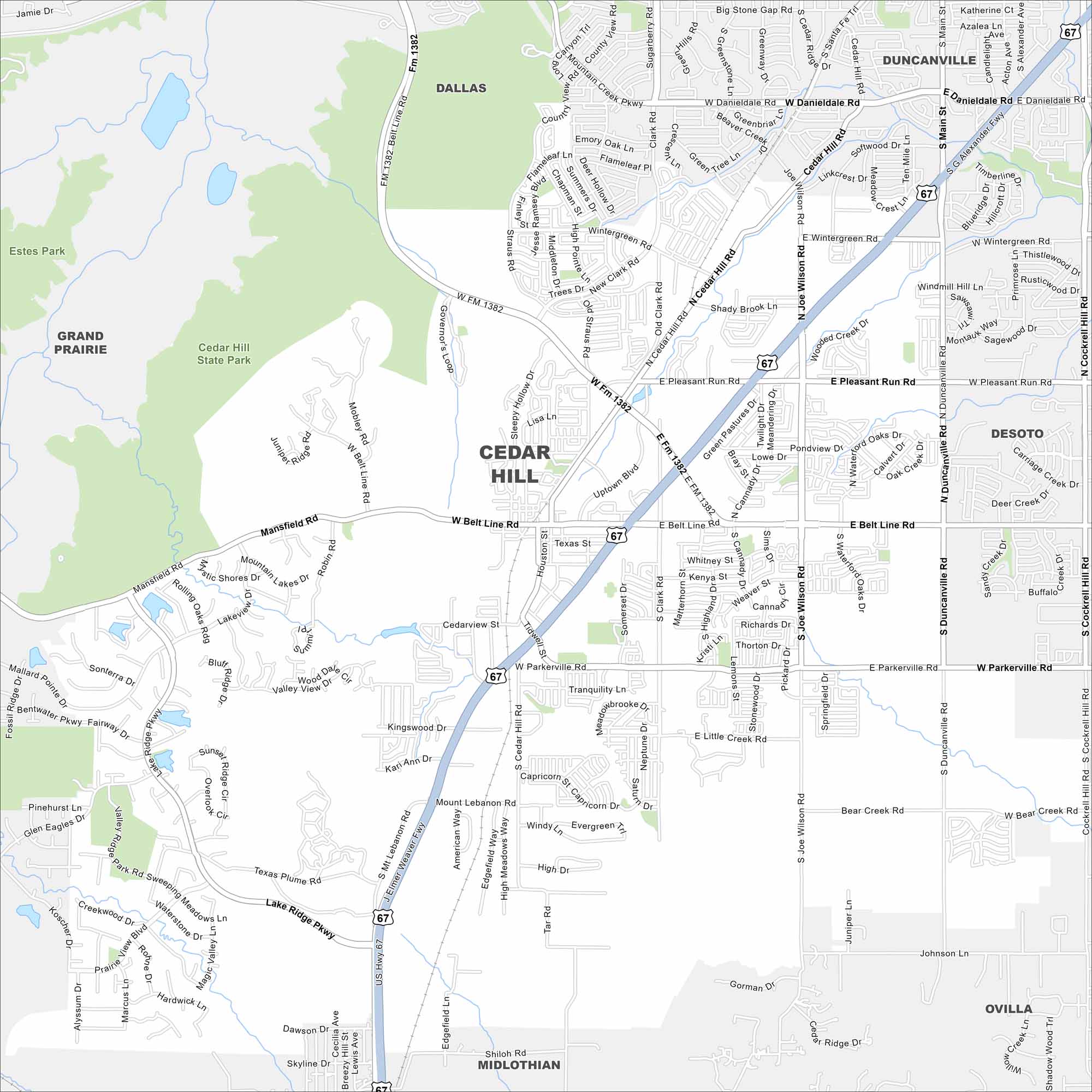
Here’s our map of Cedar Hill, Texas. The city sits in the Dallas-Fort Worth metroplex but keeps a more natural setting. Its proximity to Joe Pool Lake makes outdoor recreation a highlight.
Map Information
On the Map
Interstates/Highways: US Hwy 67, State Rte 1382 Major Roads: Belt Line Rd, Mansfield Rd, Joe Wilson Rd, Duncanville Rd, Parkerville Rd, Pleasant Run Rd, Lake Ridge Pkwy, Wintergreen Rd, Midlothian Pkwy, Clark Rd, Straus Rd, Texas Plume Rd, Mount Lebanon Rd, High Meadows Way, American Way, Uptown Blvd, Cedar Hill Rd, Main St, Cockrell Hill Rd Parks and Preserves: Cedar Hill State Park, Estes Park Nearby Communities: Dallas, Duncanville, De Soto, Grand Prairie, Ovilla, MidlothianTexas State Maps
Scan our maps of the massive southern state of Texas.


City Maps of Texas
Explore our map collection of Texas cities.


