Walmart Museum Map
Sam Walton’s retail empire started right here on Bentonville’s town square. Our road map shows Main Street, Highway 72, and connecting roads.
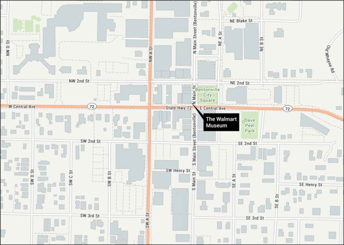
Sam Walton’s retail empire started right here on Bentonville’s town square. Our road map shows Main Street, Highway 72, and connecting roads.
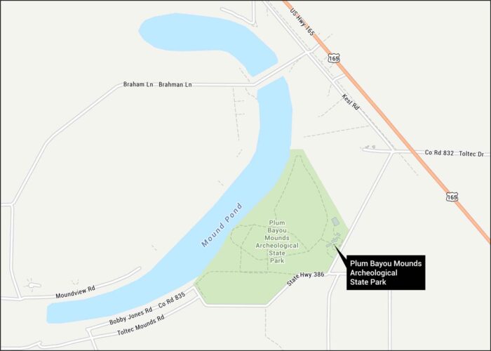
We’ve mapped out the ancient earthworks at Plum Bayou Mounds Archeological State Park in the Arkansas River lowlands.
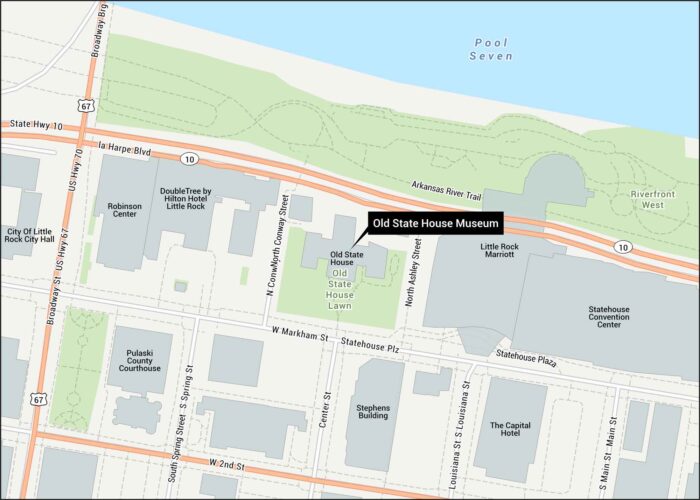
Our Old State House Museum map shows its location in Little Rock. The capitol has stood since 1833 as the state’s oldest structure.
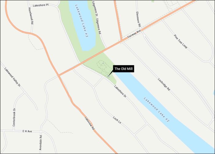
Hollywood’s favorite Arkansas backdrop sits pretty in our North Little Rock map. Lakeshore Drive, Fairway Ave, and streets are all marked.
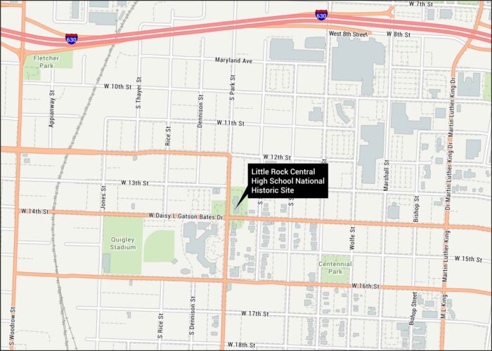
Our map of Little Rock Central High School displays this historic site in Arkansas. You’ll see I-630 and all its nearby streets.
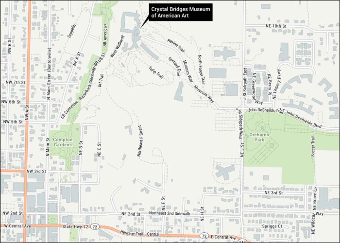
World-class American art meets Ozark forest. Here’s our map of this Bentonville treasure. You’ll find Museum Way and trailways.
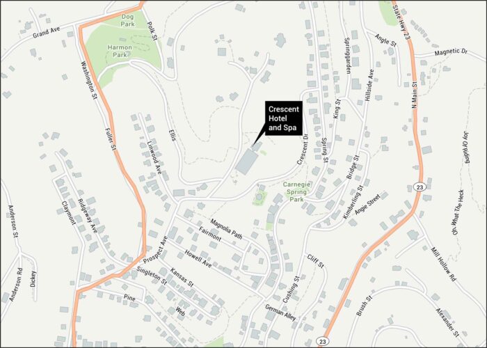
America’s most haunted hotel gets the spotlight on our map. We show major routes like Crescent Drive and downtown streets.
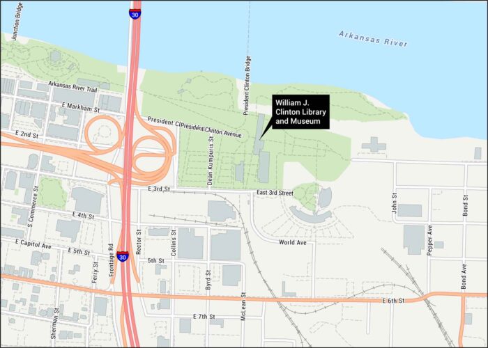
Our road map shows the Clinton Presidential Library near the Arkansas River. We show I-30, main roads, and the President Clinton Bridge.
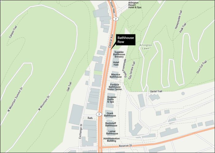
Our Bathhouse Row map reveals eight historic bathhouses lining Central Avenue. See Fountain Street and Highway 7 connections in Hot Springs.
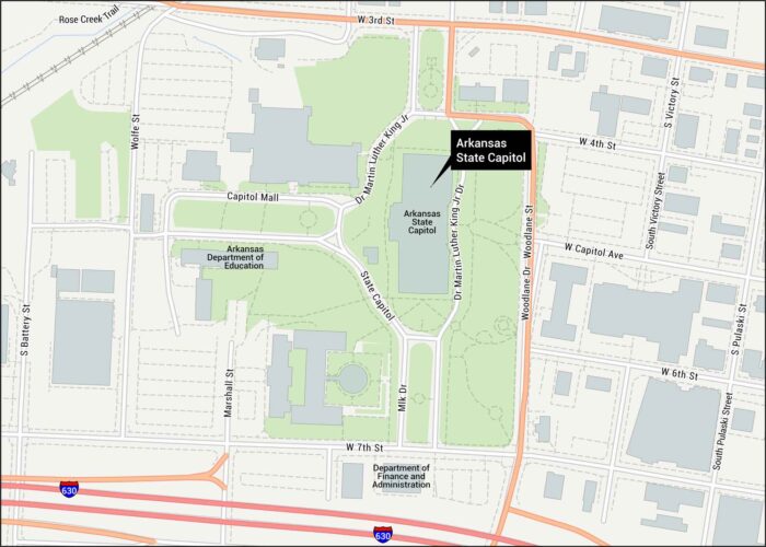
Our Arkansas State Capitol map displays I-630 access and routes through downtown. This domed beauty is located on Capitol Avenue.
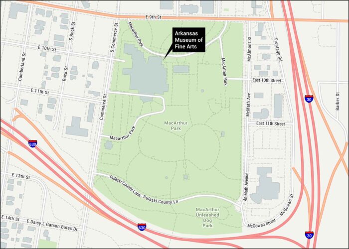
Our map shows MacArthur Park’s cultural gem on East 9th Street. I-630, Commerce Street, and downtown Little Rock roads connect you here.
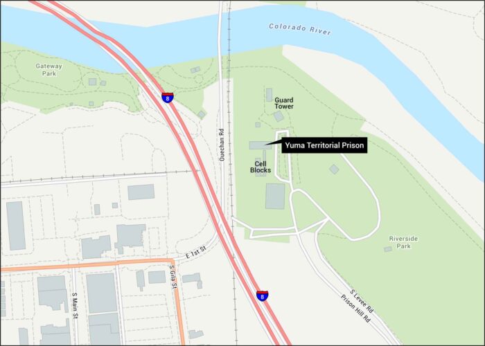
Our map of Yuma Territorial Prison shows the historic park, I-8 connections, and historic downtown Yuma streets below.
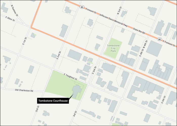
Tombstone’s Toughnut Street centers this 1882 landmark in Arizona’s most legendary town. Our map displays Allen Street, Highway 80, etc.
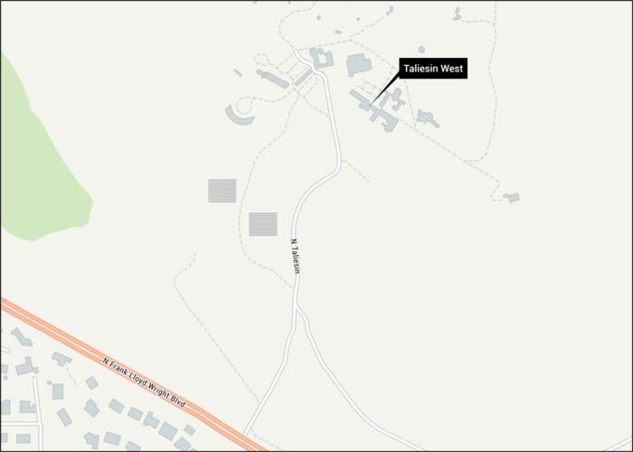
Check out our map showing the historical landmark of Taliesin West, Scottsdale. It’s now been approved as a UNESCO World Heritage Site.
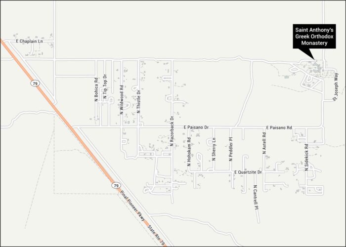
Florence’s desert monastery sits on St. Anthony’s Road off Highway 79. Our map displays this landmark and Pinal County’s rural roads.