Little Rock Central High School Map
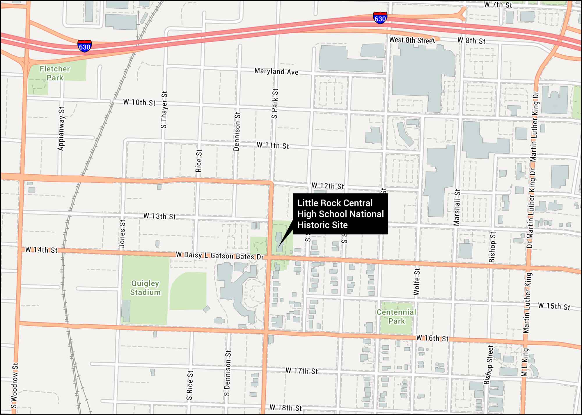
Our map of Little Rock Central High School displays this historic site in Arkansas. You’ll see I-630 and all its nearby streets. This location changed American history all the way back in 1957.
Map Information
On the Map
Interstates/Highways: I-630 Major Roads: 7th St, 8th St, 10th St, 11th St, 12th St, 13th St, 14th St, 15th St, 16th St, 17th St, 18th St, Martin Luther King Dr, Woodrow St, Park St, Wolfe St, Marshall St, Bishop St, Dennison St, Rice St, Thayer St Parks/Forests: Fletcher Park, Centennial ParkOther Landmarks: Quigley Stadium
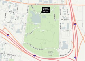
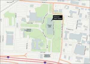
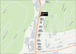
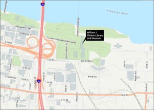
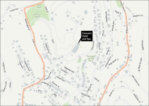
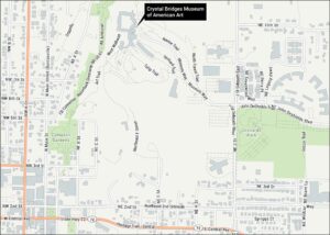
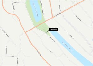
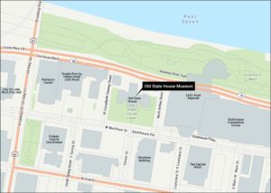
Tourist Maps in Arkansas
Discover all the prime locations with our tourist maps.