Plum Bayou Mounds Map
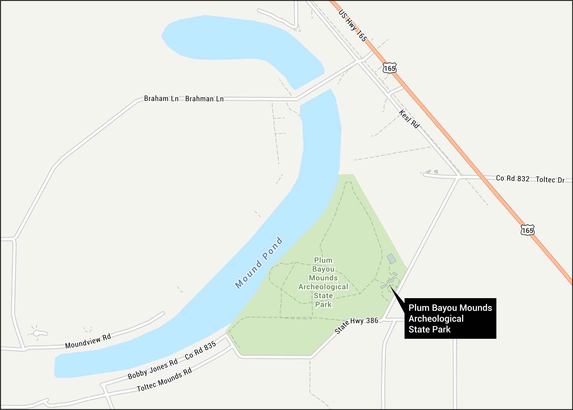
We’ve mapped out the ancient earthworks at Plum Bayou Mounds Archeological State Park. This rare Native American mound complex thrived between 650 and 1050 AD in the Arkansas River lowlands.
Map Information
On the Map
Interstates/Highways: US Hwy 165 Major Roads: Toltec Mounds Rd, Bobby Jones Rd, Kesl Rd, Toltec Dr, Braham Ln, Brahman Ln, Moundview Rd Ponds: Mound PondTourist Maps in Arkansas
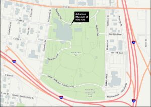
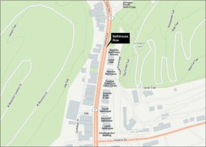
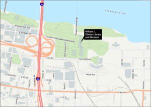
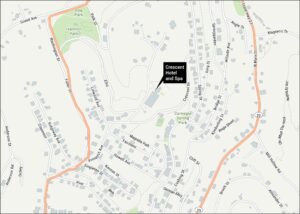
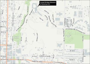
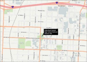
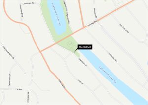
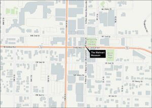
Discover all the prime locations with our tourist maps.