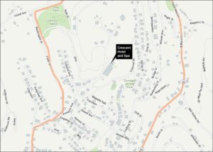
Old State House Museum Map, Little Rock
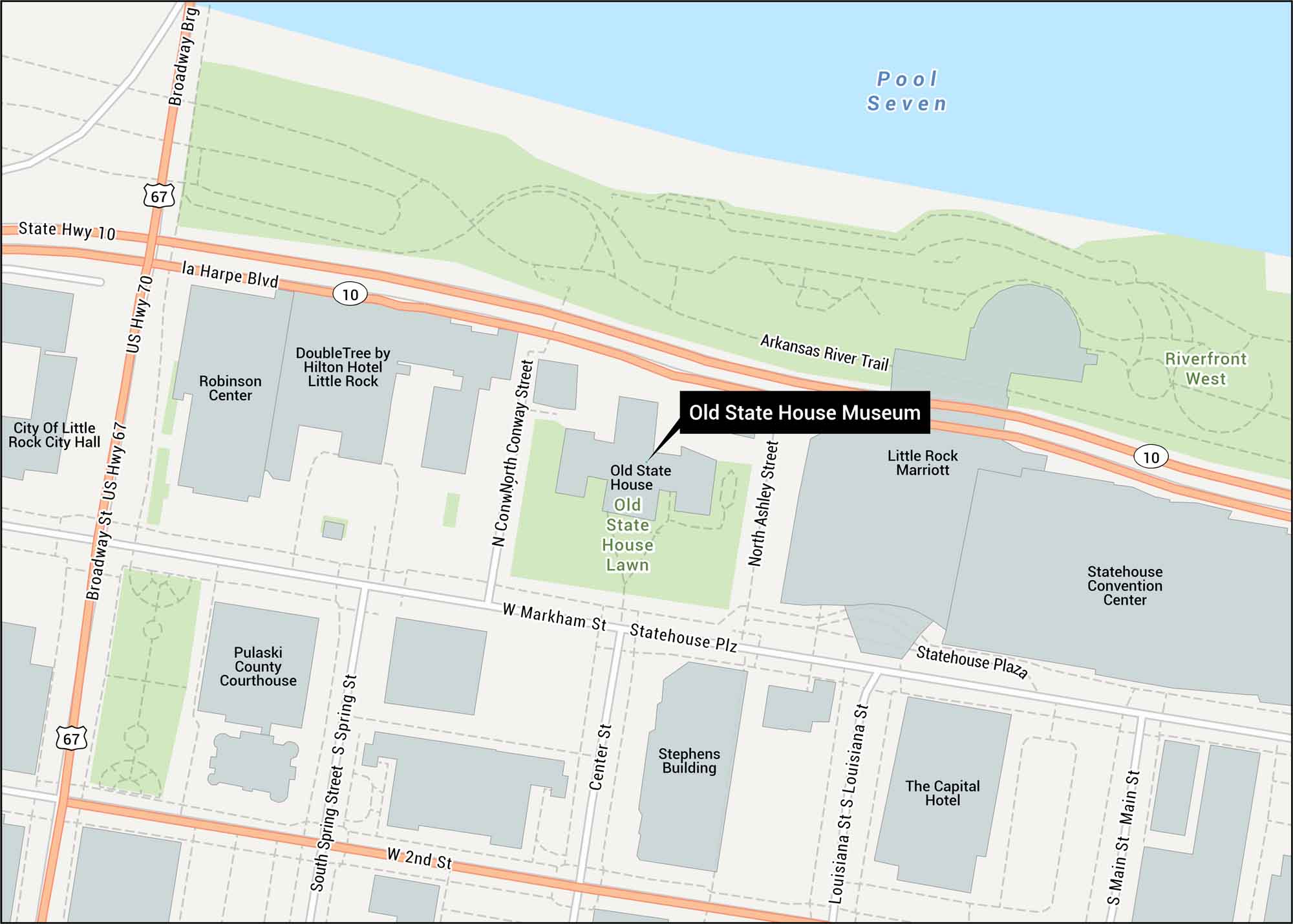
Our Old State House Museum map shows its location in Little Rock. Arkansas’s original capitol has stood since 1833 as the state’s oldest structure.
Map Information
On the Map
Interstates/Highways: US Hwy 70, US Hwy 67, State Rte 10 Major Roads: Markham St, 2nd St, La Harpe Blvd, Main St, Louisiana St, Center St, Spring St, Broadway St, Conway St, Ashley St, Statehouse Plz Rivers/Lakes: Pool Seven Parks/Forests: Riverfront West Other Landmarks: Old State House Lawn, Robinson Center, Statehouse Convention Center, Pulaski County Courthouse, City Of Little Rock City Hall, Arkansas River Trail, Broadway BrgTourist Maps in Arkansas
Discover all the prime locations with our tourist maps.