Map of Canyon, Texas
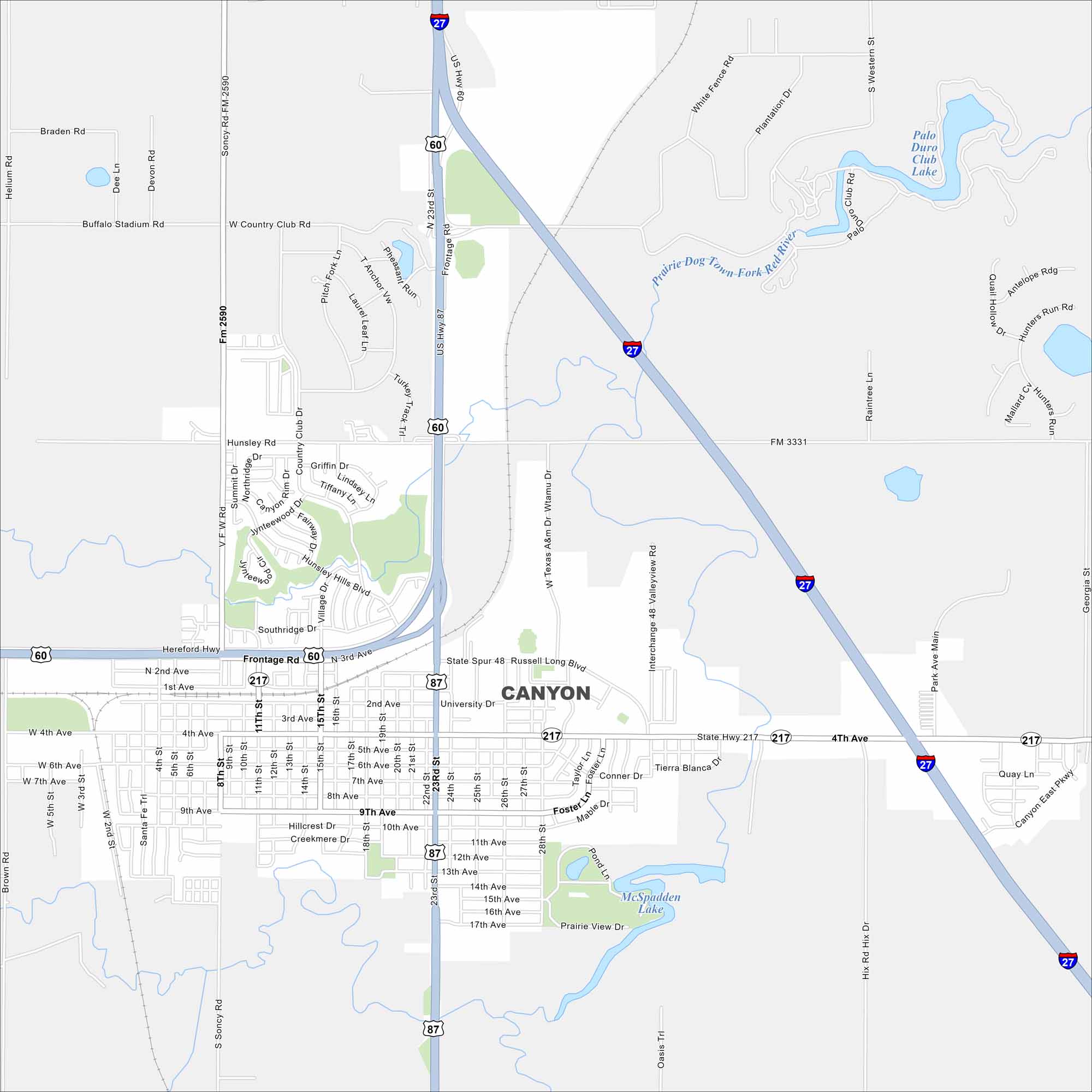
Check out Canyon, Texas on our map. It’s a Panhandle town south of Amarillo. The streets are simple, but the nearby Palo Duro Canyon is the real landmark. It’s often called the “Gateway to Palo Duro” because of that.
Map Information
On the Map
Interstates/Highways: I-27, US Hwy 60, US Hwy 87, State Hwy 217 Major Roads: 4th Ave, University Dr, 23rd St, Hunsley Rd, 8th St, 9th Ave, 15th St, 11th St, V F W Rd, Soncy Rd, Washington Ave, Russell Long Blvd, Valleyview Rd, Palo Duro Club Rd, Georgia St, Western St, Raintree Ln, Hix Rd, Oasis Trl, Helium Rd Lakes and Reservoirs: Palo Duro Club Lake, McSpadden Lake Major Rivers: Prairie Dog Town Fork Red RiverTexas State Maps
Scan our maps of the massive southern state of Texas.


City Maps of Texas
Explore our map collection of Texas cities.


