Map of Brownsville, Texas
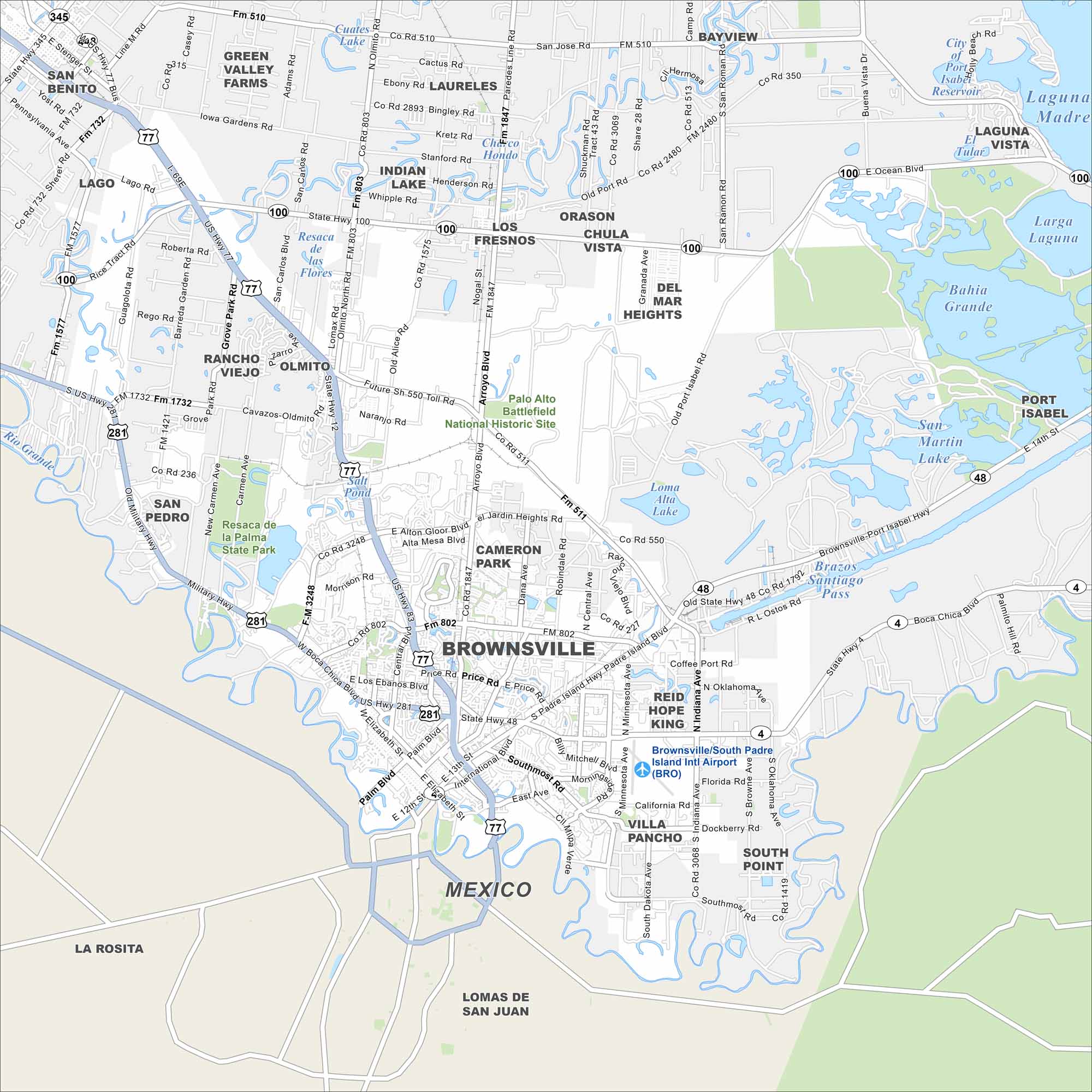
Brownsville sits at the southern tip of Texas, right on the Rio Grande. Our map shows the border crossing and roads leading into Mexico. The Gulf Coast is nearby, giving the city a unique mix of river and sea.
Map Information
On the Map
Interstates/Highways: I-69E, US Hwy 77, US Hwy 83, US Hwy 281, State Hwy 4, State Hwy 48, State Hwy 100 Major Roads: Boca Chica Blvd, International Blvd, Palm Blvd, Price Rd, Central Blvd, Alton Gloor Blvd, Old Port Rd, Paredes Line Rd, FM 802, FM 511, FM 1847, FM 3248, FM 1421, Military Hwy, Coffee Port Rd, Oklahoma Ave, Minnesota Ave, Southmost Rd, Morningside Rd, California Rd Airports: Brownsville/South Padre Island Intl Airport (BRO) Lakes and Reservoirs: Laguna Madre, Bahia Grande, San Martin Lake, Larga Laguna, Laguna Del Tular, Resaca de la Palma, Resaca de la Guerra, Resaca de las Flores, Chico Hondo, Cuates Lake, Salt Pond, Loma Alta Lake Major Rivers: Rio Grande Parks and Preserves: Resaca de la Palma State Park, Palo Alto Battlefield National Historic Site Nearby Communities: San Benito, Green Valley Farms, Laureles, Los Fresnos, Chula Vista, Del Mar Heights, Olmito, Rancho Viejo, San Pedro, Cameron Park, Reid Hope King, Villa Pancho, South Point, Laguna Vista, Port Isabel, Mexico, La Rosita, Lomas de San Juan, BayviewTexas State Maps
Scan our maps of the massive southern state of Texas.


City Maps of Texas
Explore our map collection of Texas cities.


