Map of Brooklyn Center, Minnesota
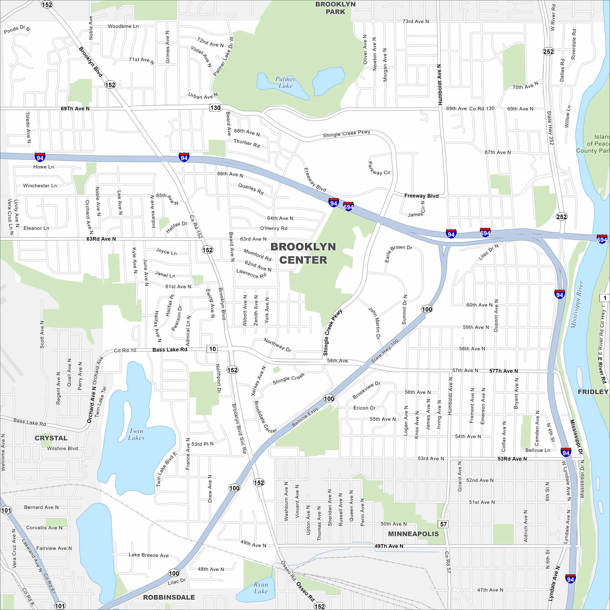
Check out Brooklyn Center on our map, sitting just northwest of Minneapolis. The Mississippi River forms its eastern edge. The city has both riverfront areas and suburban neighborhoods.
Map Information
On the Map
Interstates/Highways: I-94, I-694, State Rte 100, State Rte 252 Major Roads: Brooklyn Blvd, Shingle Creek Pkwy, Bass Lake Rd, 69th Ave, 63rd Ave, 57th Ave, Freeway Blvd, Xerxes Ave, Osseo Rd, Humboldt Ave, Dupont Ave, Bryant Ave, Noble Ave, Indiana Ave, Summit Dr, Shingle Creek Dr, Lilac Dr, 49th Ave, 53rd Ave, 66th Ave Lakes and Reservoirs: Palmer Lake, Twin Lakes, Ryan Lake Major Rivers: Mississippi River Parks and Preserves: Islands of Peace County Park Nearby Communities: Brooklyn Park, Fridley, Minneapolis, Robbinsdale, CrystalMinnesota State Maps
Explore every lake in our state maps of Minnesota


Minnesota City Maps
Browse through our city maps of Minnesota


