Map of Brockton, Massachusetts
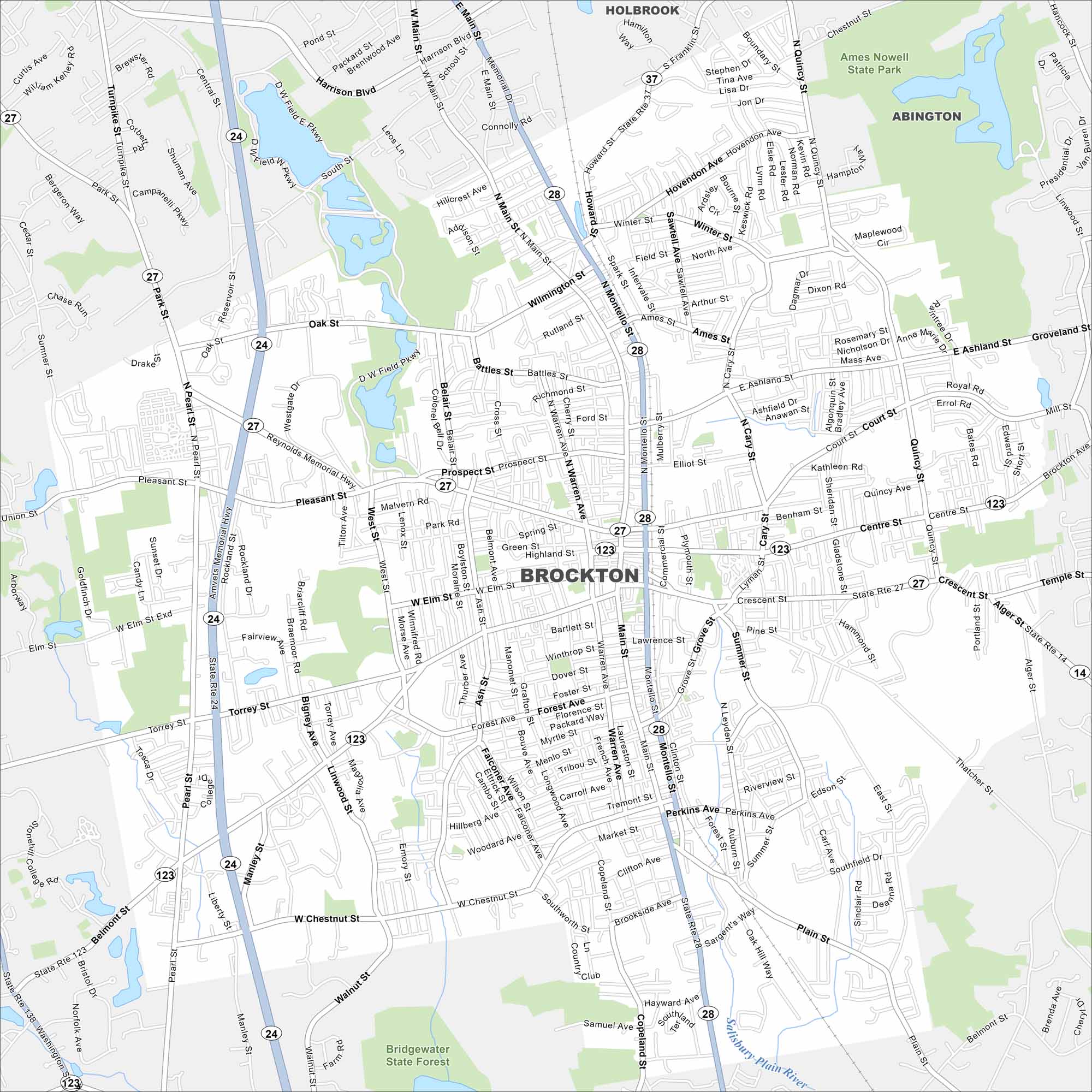
Brockton is south of Boston, long known as the City of Champions. Our map shows dense neighborhoods mixed with parks. It’s known for its proud sports and boxing history.
Map Information
On the Map
Interstates/Highways: State Rte 24, State Rte 27, State Rte 28, State Rte 123, State Rte 14, State Rte 37, State Rte 138 Major Roads: Main St, Montello St, Warren Ave, West Elm St, Belmont St, Pleasant St, Centre St, Crescent St, Cary St, Quincy St, Torrey St, West Chestnut St, Pearl St, Oak St, Forest Ave, Thatcher St, Howard St, North Ave, Court St, Grafton St Parks and Preserves: Ames Nowell State Park, Bridgewater State Forest Nearby Communities: Holbrook, AbingtonMassachusetts State Maps
Here’s our state maps of Massachusetts


City Maps of Massachusetts
Explore Boston and other urban areas in Massachusetts


