Map of Bridgewater, Massachusetts
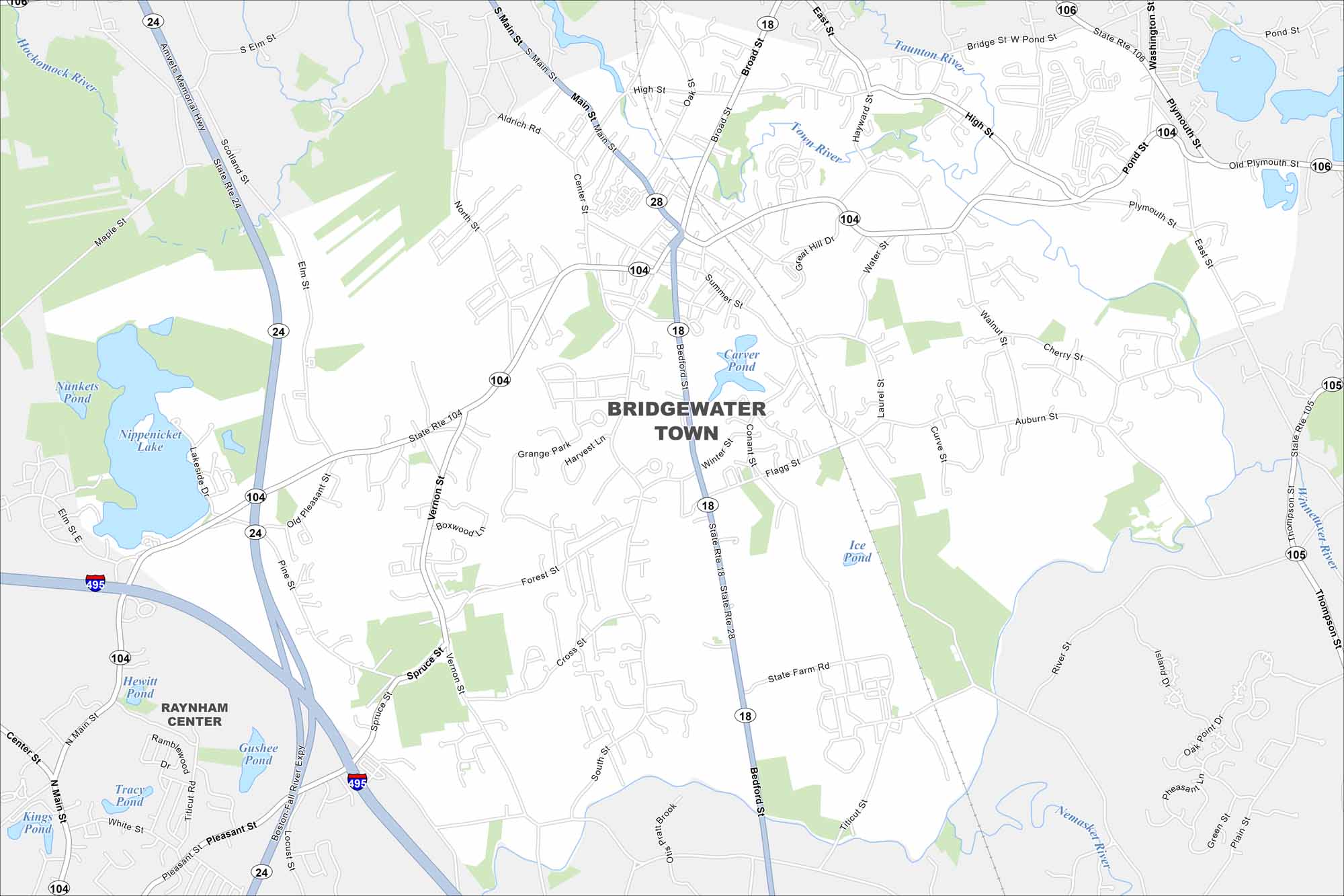
Bridgewater is a South Shore town marked by rivers and forests. Check it out on our map to see how its center spreads outward. It stands out because of its historic college.
Map Information
On the Map
Interstates/Highways: I-495, State Rte 24, State Rte 18, State Rte 28, State Rte 104, State Rte 106, State Rte 105 Major Roads: Main St, Bedford St, Summer St, Plymouth St, Pleasant St, Center St, High St, Broad St, South St, Forest St, Scotland St, Elm St, Vernon St, Auburn St, Oak St, Lakeside Dr, Cross St, State Farm Rd, Titicut St, Walnut St Lakes and Reservoirs: Nippenicket Lake, Nunkets Pond, Carver Pond, Ice Pond, Hewitt Pond, Gushee Pond, Tracy Pond, Kings Pond Major Rivers: Taunton River, Town River, Matfield River, Nemasket River, Winnetuxet River Nearby Communities: Raynham CenterMassachusetts State Maps
Here’s our state maps of Massachusetts


City Maps of Massachusetts
Explore Boston and other urban areas in Massachusetts


