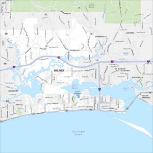
Map of Biloxi, Mississippi
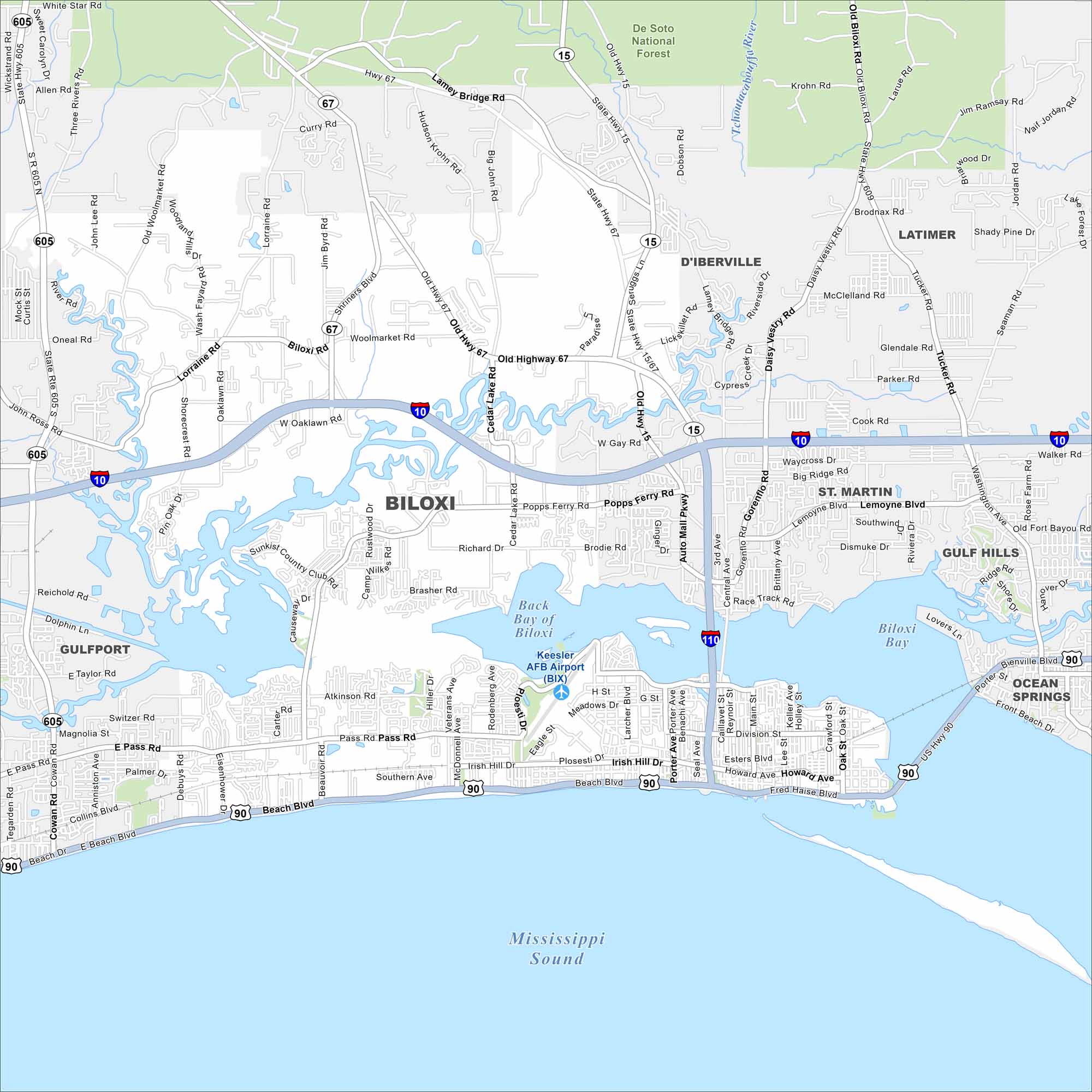
Biloxi is a Gulf Coast city with beaches and a deep maritime history. Our map highlights these features, including its roads and highways. The city is known for beaches and casinos.
Map Information
On the Map
Interstates/Highways: I-10, I-110, US Hwy 90, State Hwy 15, State Hwy 67, State Hwy 605, State Hwy 609 Major Roads: Beach Blvd, Pass Rd, Howard Ave, Irish Hill Dr, Popps Ferry Rd, Biloxi Rd, Woolmarket Rd, Cedar Lake Rd, Lamey Bridge Rd, Old Hwy 67, Rodriguez Ave, Veterans Ave, Hiller Dr, Main St, Caillavet St, Division St, Esters Blvd, Larker Blvd, Oak St, Lee St Airports: Keesler AFB Airport (BIX) Lakes and Reservoirs: Back Bay of Biloxi, Biloxi Bay, Mississippi Sound Major Rivers: Tchoutacabouffa River Parks and Preserves: De Soto National Forest Nearby Communities: Gulfport, D’Iberville, St Martin, Ocean Springs, Latimer, Gulf HillsMississippi State Maps
Explore maps of Mississippi’s towns, rivers, and roads.


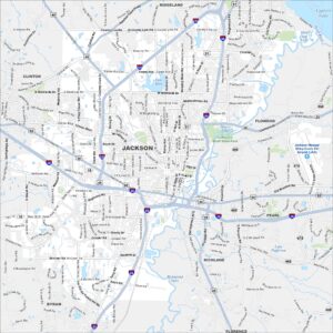
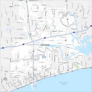
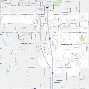
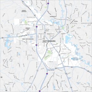
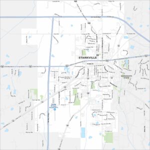
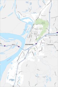
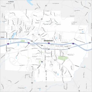
Mississippi City Maps
Discover Mississippi with our city maps