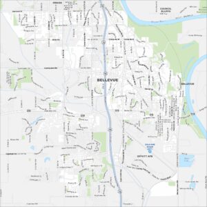
Map of Bellevue, Nebraska
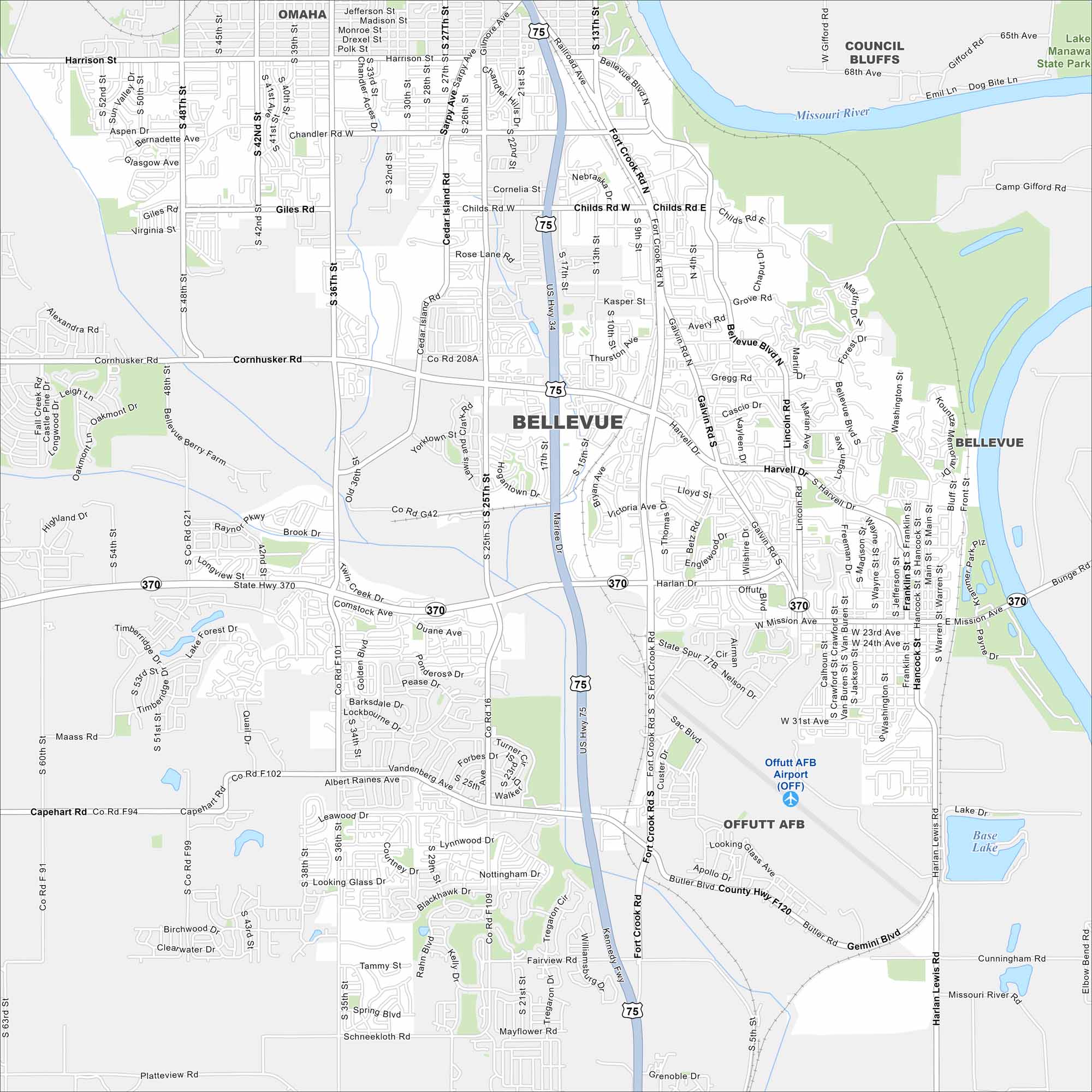
Need directions for Bellevue? Our map lays out roads, lakes, railways, and riverfront areas. Bellevue is just south of Omaha along the Missouri River. The city is known as Nebraska’s oldest continuous settlement.
Map Information
On the Map
Interstates/Highways: US Hwy 75, State Rte 370 Major Roads: Fort Crook Rd, Kennedy Fwy, Cornhusker Rd, Capehart Rd, Bellevue Blvd, Mission Ave, Giles Rd, Fairview Rd, Platteview Rd, Chandler Rd, 36th St, 25th St, 42nd St, 48th St, Galvin Rd, 13th St, 15th St, Harlan Dr, Forest Dr, Raynor Pkwy Airports: Offutt AFB Airport (OFF) Lakes and Reservoirs: Base Lake Major Rivers: Missouri River Parks and Preserves: Lake Manawa State Park Nearby Communities: Omaha, Council BluffsNebraska State Maps
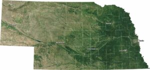
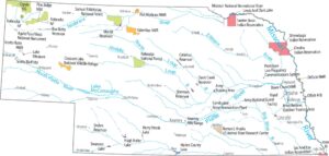
Examine maps showing prairies and cities in Nebraska.


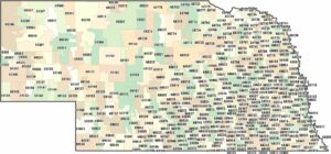
City Maps of Nebraska
Nebraska city maps are here