Map of Bella Vista, Arkansas
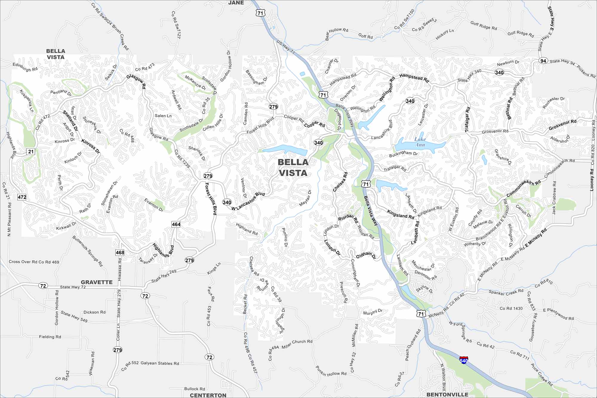
Our map of Bella Vista highlights winding roads, lakes, and wooded hills. The city sits in the Ozark region of northwest Arkansas. It’s popular because of its golf courses and scenic trails.
Arkansas State Maps
Check out our Arkansas maps here


Map Information
On the Map
Interstates/Highways: I-540, US Hwy 71, State Hwy 340, State Hwy 279, State Hwy 72, State Hwy 249, State Hwy 94 Major Roads: Bella Vista Way, Forest Hills Blvd, Lancashire Blvd, Highlands Blvd, Cooper Rd, McNelly Rd, Trafalgar Rd, Commonwealth Rd, Euston Rd, Riordan Rd, Chelsea Rd, Kingsland Rd, Glasgow Rd, Kinross Rd, Perth Dr, Hampstead Rd, Newburn Dr, Grosvenor Rd, Spanker Creek Rd, Miller Church Rd Lakes and Reservoirs: Lake Ann Nearby Communities: Jane, Gravette, Centerton, BentonvilleArkansas City Maps
Discover Arkansas through our city maps


