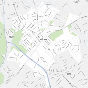
Map of Bel Air, Maryland
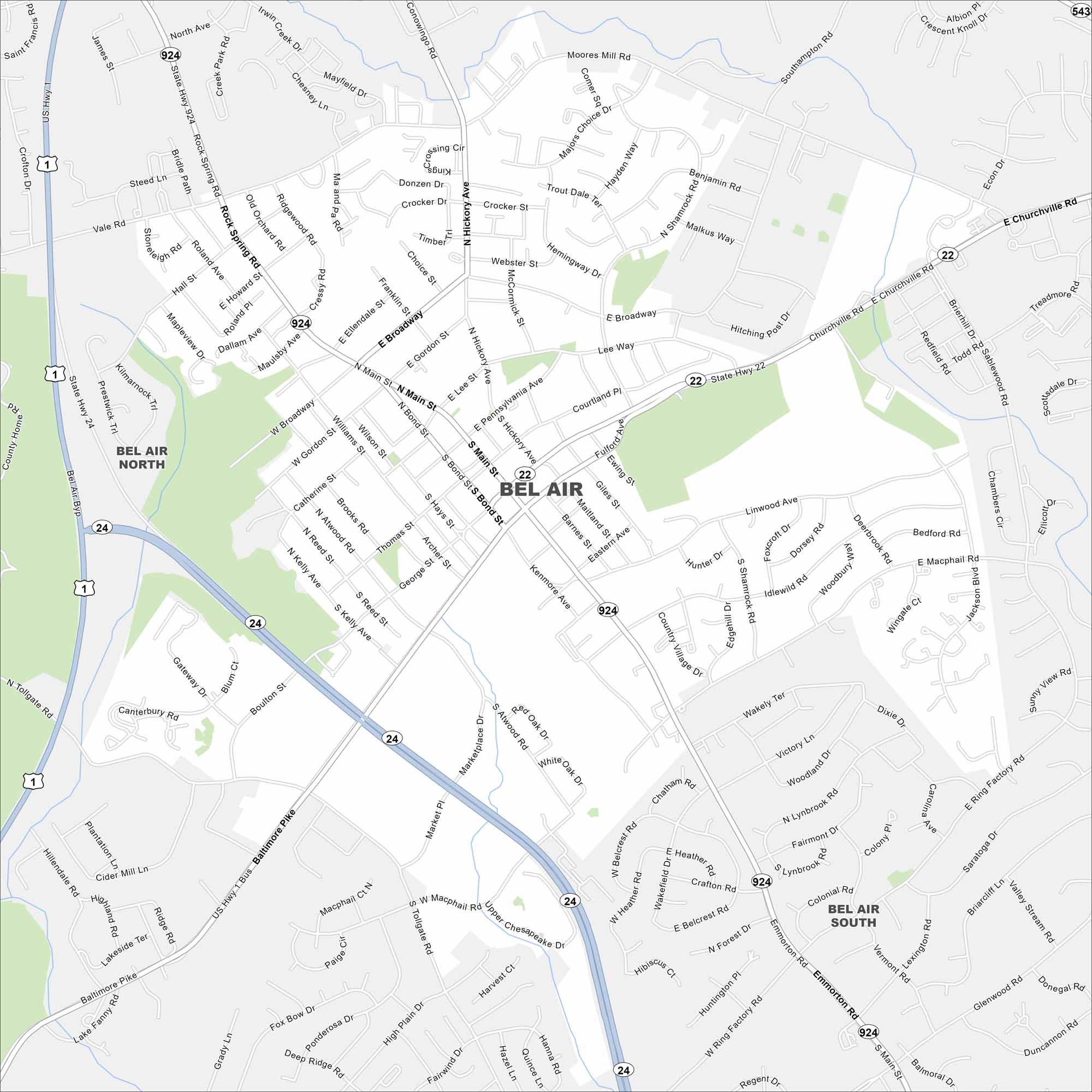
We’ve mapped out every major road in Bel Air. See the heart of Harford County with its historic downtown and nearby parks. Our map of Bel Air shows its small-town streets, local parks, and US Highway 1.
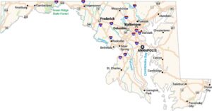
Maryland State Maps
See the geography of Maryland with our state maps


Map Information
On the Map
Interstates/Highways: US Hwy 1, State Hwy 22, State Hwy 24, State Hwy 543, State Hwy 924, Baltimore Pike Major Roads: Main St, Broadway, Rock Spring Rd, Emmorton Rd, Churchville Rd, Macphail Rd, Bond St, Hickory Ave, Kenmore Ave, Vale Rd, Moores Mill Rd, Southampton Rd, Boulton St, Tollgate Rd, Ring Factory Rd, Plumtree Rd, Wheel Rd, Marketplace Dr, Thomas St Nearby Communities: Bel Air North, Bel Air SouthCity Maps of Maryland
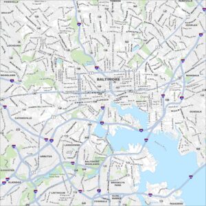
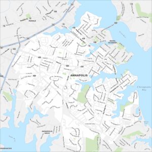
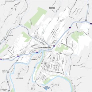
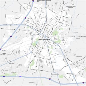
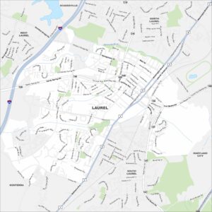
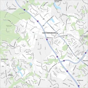
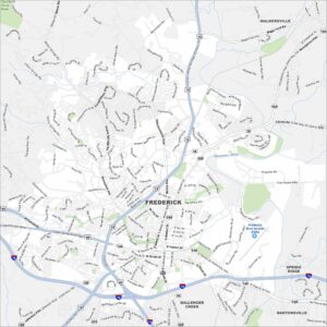
Here are our city maps of Maryland