Map of Baytown, Texas
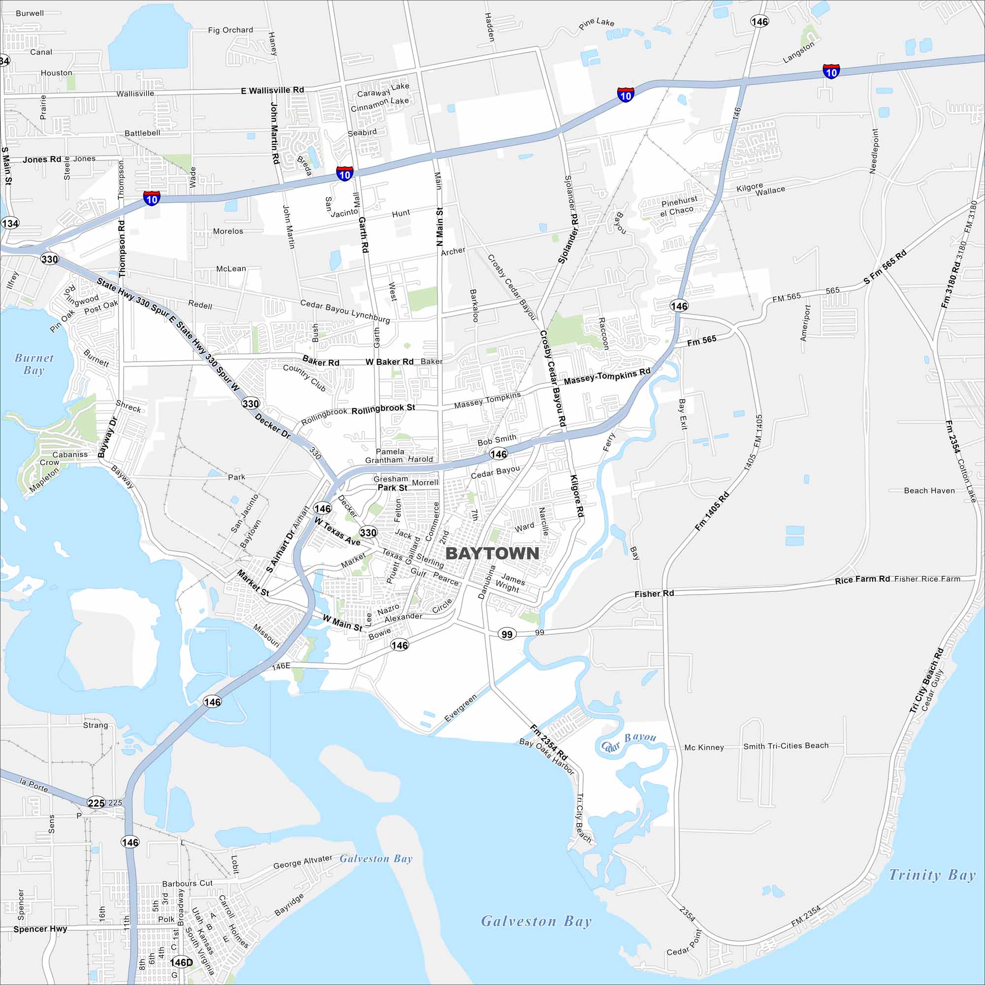
Baytown is on the northern shore of Galveston Bay, east of Houston. Our map shows waterways, residential areas, and highways/roads. The city is known for its close ties to the ship channel and oil refineries.
Map Information
On the Map
Interstates/Highways: I-10, State Hwy 146, State Hwy 99, State Hwy 330, State Spur 330 Major Roads: Main St, Garth Rd, Alexander Dr, Texas Ave, Market St, Baker Rd, Rollingbrook St, Massey-Tompkins Rd, Wallisville Rd, John Martin Rd, Thompson Rd, Jones Rd, Decker Dr, Wade Rd, Pruett St, Sterling Ave, James Wright St, Evergreen Rd, Tri City Beach Rd, Ferry Rd Lakes and Reservoirs: Galveston Bay, Burnet Bay, Trinity BayTexas State Maps
Scan our maps of the massive southern state of Texas.


City Maps of Texas
Explore our map collection of Texas cities.


