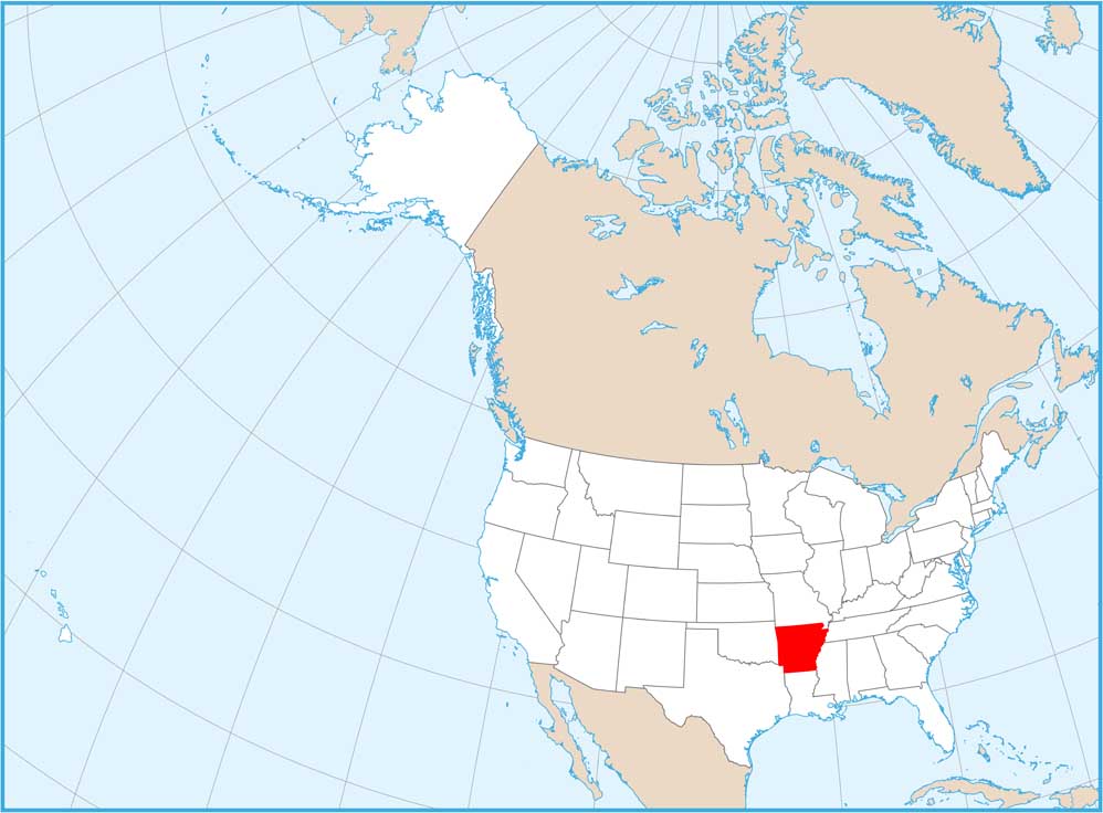
Arkansas National Parks and Forests Map
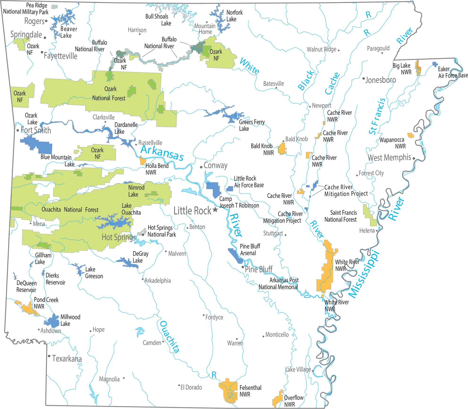
Northern and western Arkansas contain the largest forested regions. Our map shows protected land like the Ozark-St. Francis National Forest, which spans much of this terrain. You’ll notice that the southern lowlands appear less preserved.
Map Information
On the Map