Map of Ames, Iowa
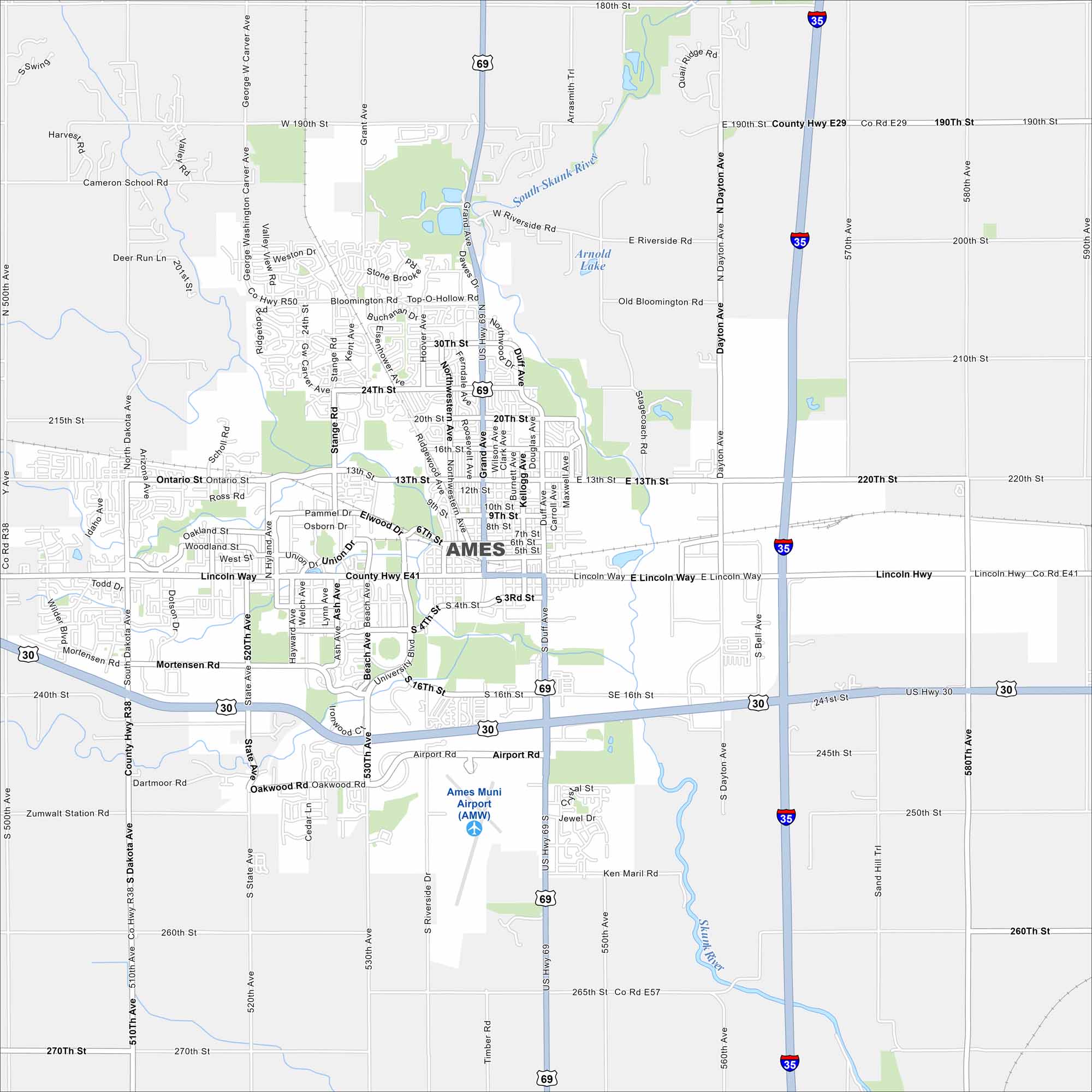
Home to Iowa State University, Ames is both a college town and a research hub. Roads wrap around the campus, as shown on our map. But it all connect to farmland just minutes away.


Map Information
On the Map
Interstates/Highways: I-35, US Hwy 69, US Hwy 30 Major Roads: Lincoln Way, Grand Ave, Duff Ave, Stange Rd, University Blvd, 13th St, 24th St, 190th St, Bloomington Rd, Dayton Ave, State Ave, Mortensen Rd, 510th Ave, George Washington Carver Ave, Hyde Ave, Northwestern Ave, Kellogg Ave, Oakwood Rd, Airport Rd, Riverside Dr Airports: Ames Muni Airport (AMW) Lakes and Reservoirs: Arnold Lake Major Rivers: South Skunk River Nearby Communities: GilbertIowa City Maps
Browse city maps in the state of Iowa


