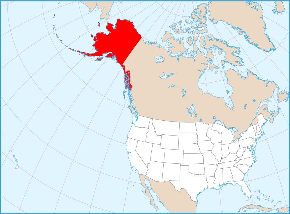
Map of Alaska
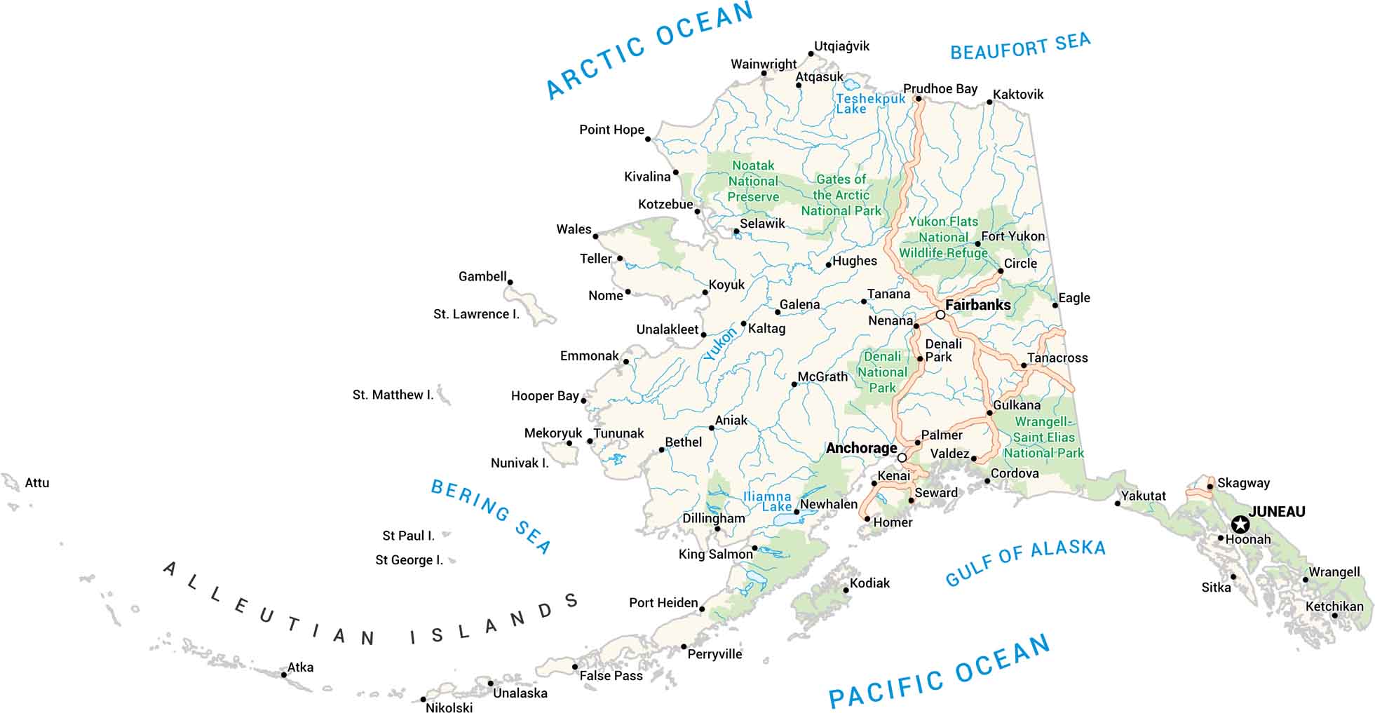
Here’s Alaska. It’s big, wild, and wide open. Our Alaska map lays it all out. Picture the mountains, ice, towns, and endless water. From the Inside Passage to the Arctic edge, every mile feels remote. You can almost feel the cold air in the white spaces.
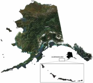
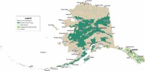
Alaska State Maps
Take a look at our Alaska state maps


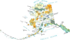

Map Information
On the Map
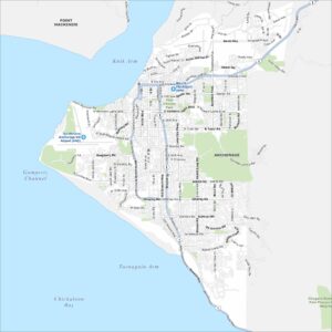
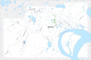
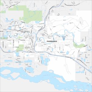
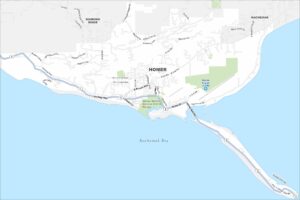
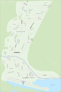
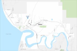
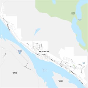
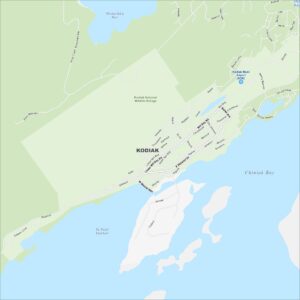
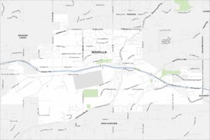
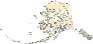
Alaska City Maps
Browse our collection of Alaska city maps