Map of Alamo, Texas
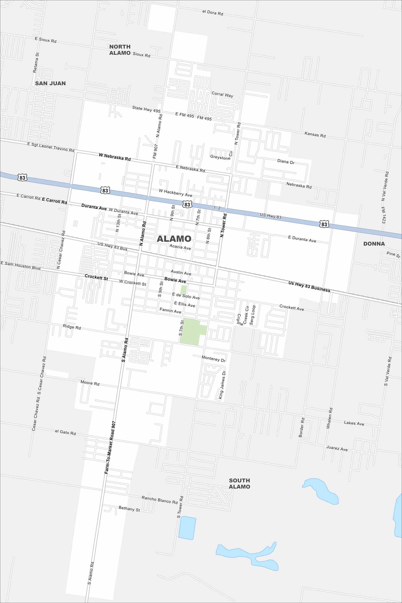
Our map of Alamo lays out a small city in the Rio Grande Valley. It’s known as the gateway to Santa Ana National Wildlife Refuge. Bird lovers come hear year round.
Map Information
On the Map
Interstates/Highways: US Hwy 83, State Hwy 495 Major Roads: Tower Rd, Alamo Rd, Nebraska Rd, Duranta Ave, Cesar Chavez Rd, Frontage Rd, Business 83, Acacia Ave, Austin Ave, Bowie Ave, Ellis Ave, Fannin Ave, Ridge Rd, Moore Rd, El Gato Rd, Rancho Blanco Rd, Bethany St, Whalen Rd, Lakes Ave, Juarez Ave Nearby Communities: North Alamo, San Juan, Donna, South AlamoTexas State Maps
Scan our maps of the massive southern state of Texas.


City Maps of Texas
Explore our map collection of Texas cities.


