Map of Alamogordo, New Mexico
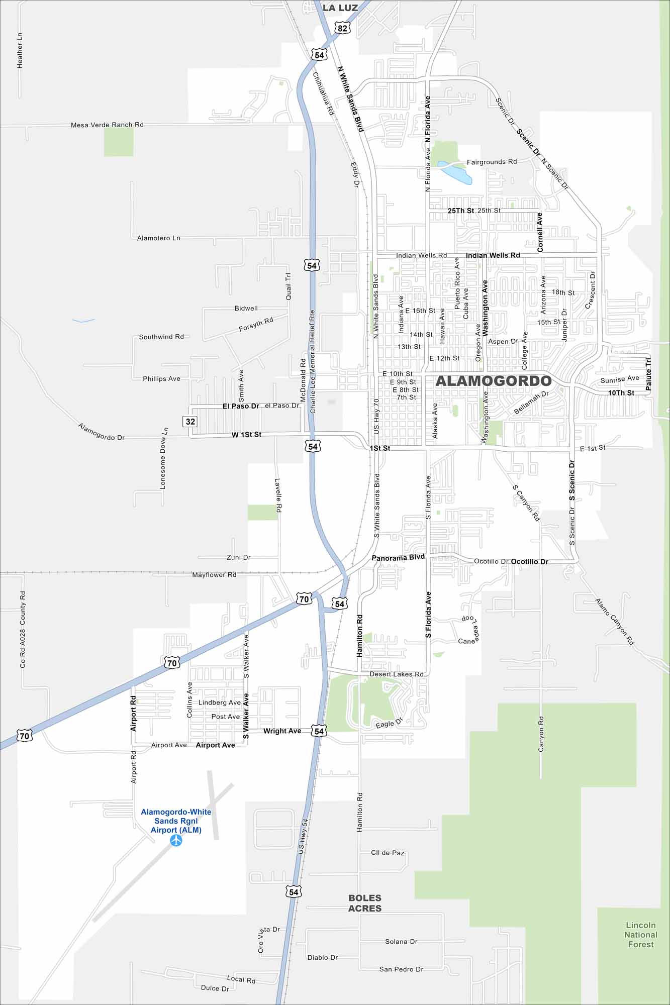
Alamogordo is a desert city next to the Sacramento Mountains. Our map shows its streets traveling out under wide skies. It’s also close to White Sands National Park.
Map Information
On the Map
Interstates/Highways: US Hwy 54, US Hwy 70, US Hwy 82 Major Roads: White Sands Blvd, 10th St, Indian Wells Rd, 1st St, Panorama Blvd, Fairgrounds Rd, Scenic Dr, Florida Ave, Washington Ave, Canal Ave, Hamilton Rd, Airport Rd, Wright Ave, 25th St, 15th St, 10th St, 1st St, El Paso Dr, 13th St, 16th St Airports: Alamogordo-White Sands Rgnl Airport (ALM) Parks and Preserves: Lincoln National Forest Nearby Communities: La Luz, Boles AcresNew Mexico State Maps
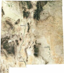
See maps across deserts, peaks, and towns of New Mexico.


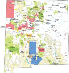


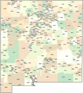
City Maps of New Mexico
Traverse New Mexico with our city maps.