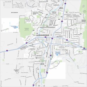
Map of Albuquerque, New Mexico
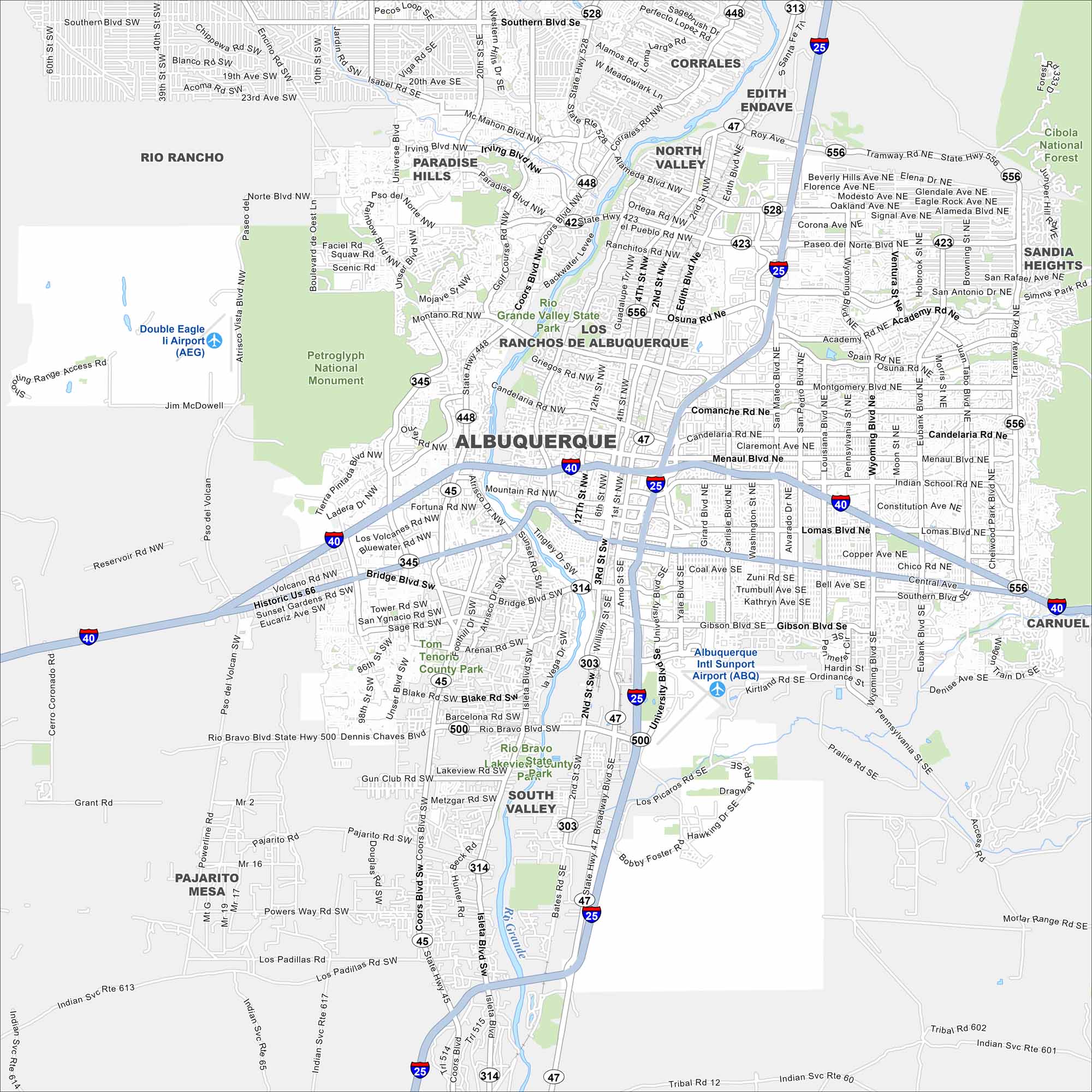
Albuquerque is a desert city in New Mexico. Highways stretch across mesas and the Rio Grande cuts right through the middle. Our map highlights its waterways and state parks.
Map Information
On the Map
Interstates/Highways: I-25, I-40, US Hwy 550, State Rte 423, State Rte 448, State Rte 528, State Rte 45, State Rte 47, State Rte 500, State Rte 313, State Rte 314, State Rte 303, State Rte 556 Major Roads: Central Ave, Paseo del Norte Blvd, Coors Blvd, Lomas Blvd, Menaul Blvd, Montgomery Blvd, Wyoming Blvd, Academy Rd, Tramway Blvd, University Blvd, San Mateo Blvd, Gibson Blvd, Rio Bravo Blvd, Bridge Blvd, Isleta Blvd, Eubank Blvd, Louisiana Blvd, Juan Tabo Blvd, Carlisle Blvd, Girard Blvd Airports: Albuquerque Intl Sunport Airport (ABQ), Double Eagle Ii Airport (AEG) Major Rivers: Rio Grande Parks and Preserves: Petroglyph National Monument, Cibola National Forest, Rio Grande Valley State Park, Sandia Heights, Tom Tenorio County Park Nearby Communities: Rio Rancho, North Valley, Corrales, Edith Endave, South Valley, Paradise Hills, Pajarito Mesa, Carnuel Neighborhoods: Old Town AlbuquerqueNew Mexico State Maps
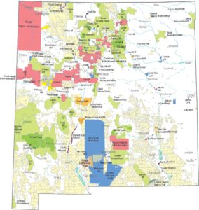
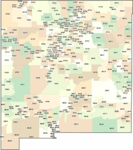
See maps across deserts, peaks, and towns of New Mexico.


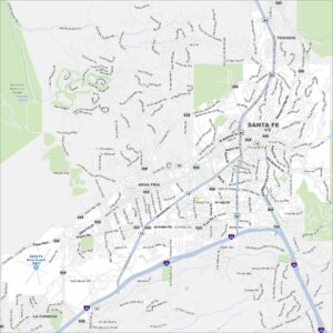
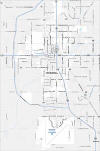
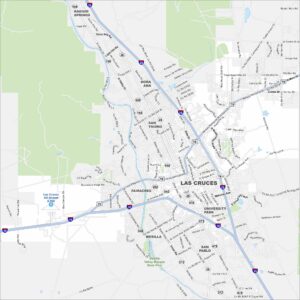
City Maps of New Mexico
Traverse New Mexico with our city maps.