Map of Allen, Texas
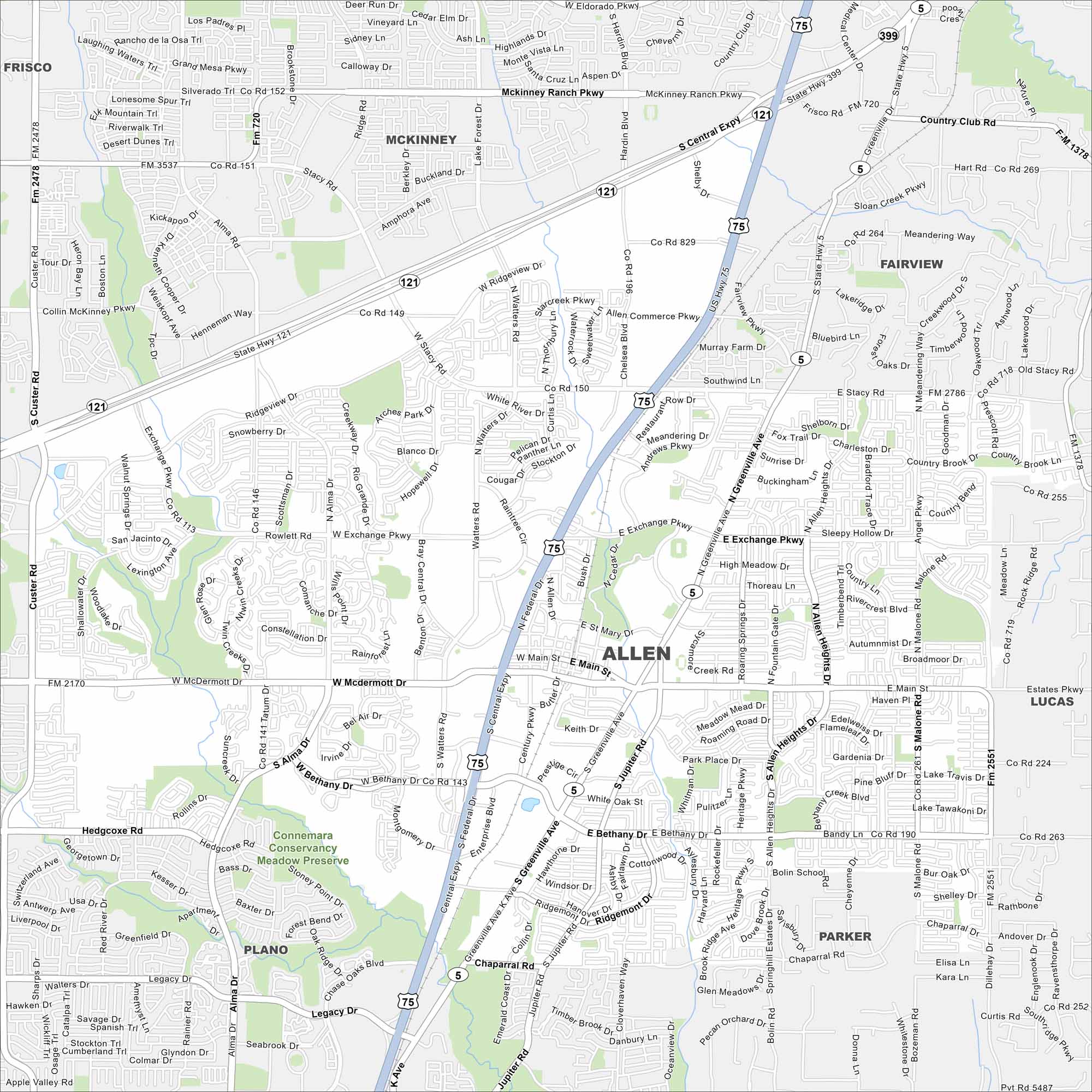
Highways, shopping centers, and wide suburban roads are important to Allen. Our map shows its position in the north Dallas metro. There are connections that make it a commuter hub and a growing city of its own.
Map Information
On the Map
Interstates/Highways: US Hwy 75, State Hwy 121, State Hwy 5, State Hwy 399 Major Roads: Main St, McDermott Dr, Bethany Dr, Exchange Pkwy, Ridgeview Dr, Stacy Rd, Angel Pkwy, Greenville Ave, Jupiter Rd, Allen Heights Dr, Malone Rd, Custer Rd, Alma Dr, Watters Rd, Chelsea Blvd, Central Expy, Country Club Rd, Hedgcoxe Rd, Chaparral Rd, Legacy Dr Parks and Preserves: Connemara Conservancy Meadow Preserve Nearby Communities: Frisco, McKinney, Fairview, Parker, Lucas, PlanoTexas State Maps
Scan our maps of the massive southern state of Texas.


City Maps of Texas
Explore our map collection of Texas cities.


