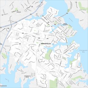
Map of Annapolis, Maryland
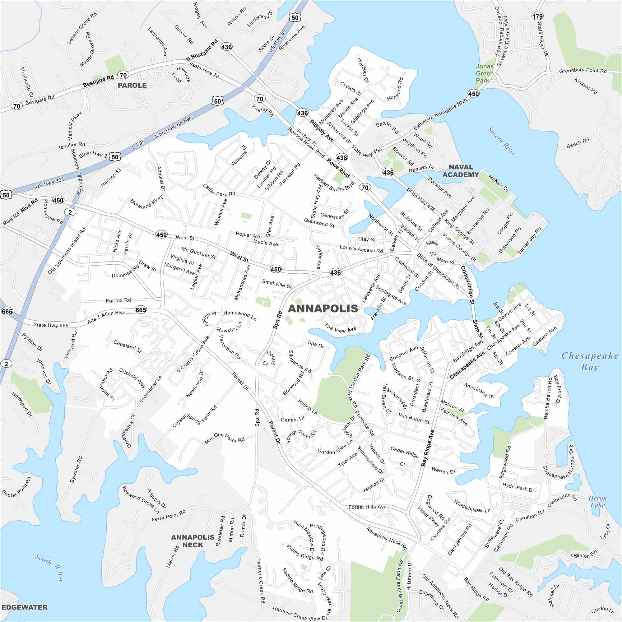
Here’s our map of Annapolis, located along Chesapeake Bay. Annapolis is the capital of Maryland and home to the U.S. Naval Academy. Check out its roads, parks, and waterfront edges on our map.
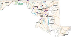
Maryland State Maps
See the geography of Maryland with our state maps


Map Information
On the Map
Interstates/Highways: I-595, US Hwy 301, US Hwy 50, State Hwy 2, State Hwy 436, State Hwy 450, State Hwy 665, State Hwy 70, State Hwy 179, State Hwy 648 Major Roads: Riva Rd, Bestgate Rd, West St, Forest Dr, Bay Ridge Ave, Aris T. Allen Blvd, Admiral Dr, Solomons Island Rd, Taylor Ave, Roscoe Rowe Blvd, Ridgely Ave, Baltimore Annapolis Blvd, King George St, Main St, Duke of Gloucester St, Compromise St, Sixth St, Chesapeake Ave, Tyler Ave, Hillsmere Dr Airports: Freeway Airport (W00) Lakes and Reservoirs: Chesapeake Bay, Heron Lake Major Rivers: Severn River, South River Parks and Preserves: Jonas Green Park Nearby Communities: Parole, Naval Academy, Annapolis Neck, EdgewaterCity Maps of Maryland
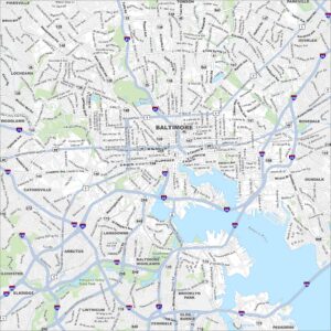
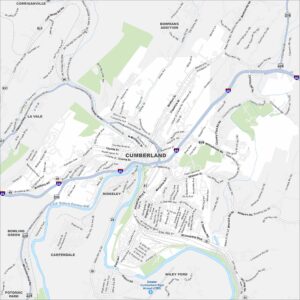
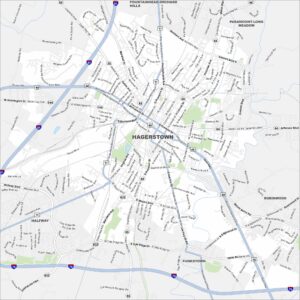
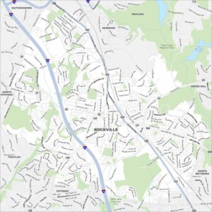
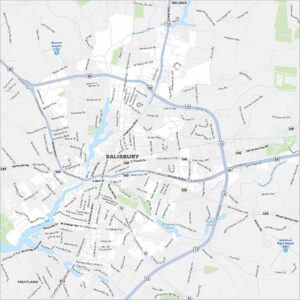
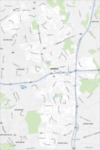
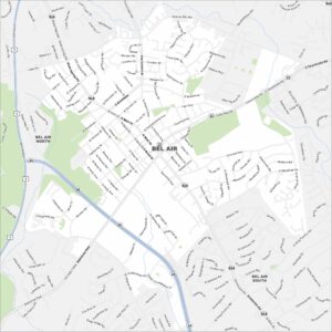
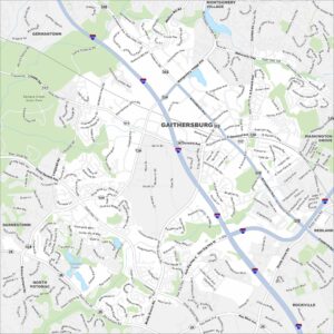
Here are our city maps of Maryland