Map of Waltham, Massachusetts
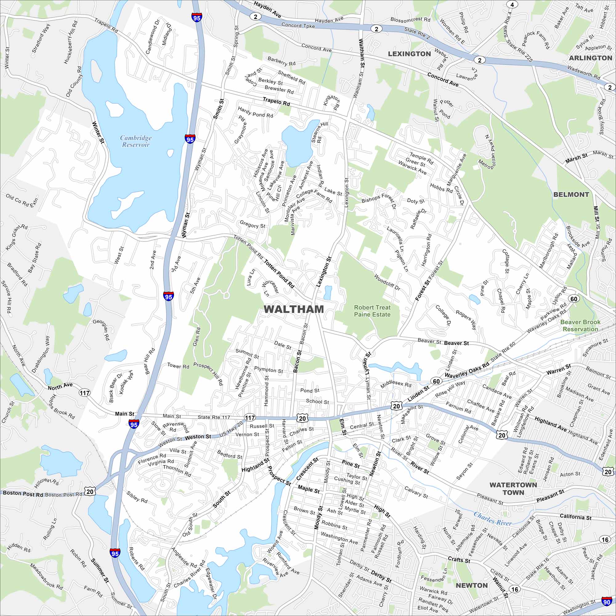
Our map of Waltham shows you around this historic mill city. Along the Charles River, it’s home to Brandeis University and lively Moody Street.
Map Information
On the Map
Interstates/Highways: I-95, US Hwy 20, State Rte 2, State Rte 4, State Rte 16, State Rte 60, State Rte 117 Major Roads: Main St, Lexington St, Totten Pond Rd, Winter St, Trapelo Rd, Moody St, River St, Prospect St, High St, Weston St, Beaver St, Waverley Oaks Rd, Linden St, Bacon St, Smith St, Wyman St, South St, Pleasant St, Newton St, Lincoln St Lakes and Reservoirs: Cambridge Reservoir Major Rivers: Charles River Parks and Preserves: Robert Treat Paine Estate, Beaver Brook Reservation Nearby Communities: Lexington, Belmont, Watertown Town, NewtonMassachusetts State Maps
Here’s our state maps of Massachusetts


City Maps of Massachusetts
Explore Boston and other urban areas in Massachusetts


