Map of Bartlesville, Oklahoma
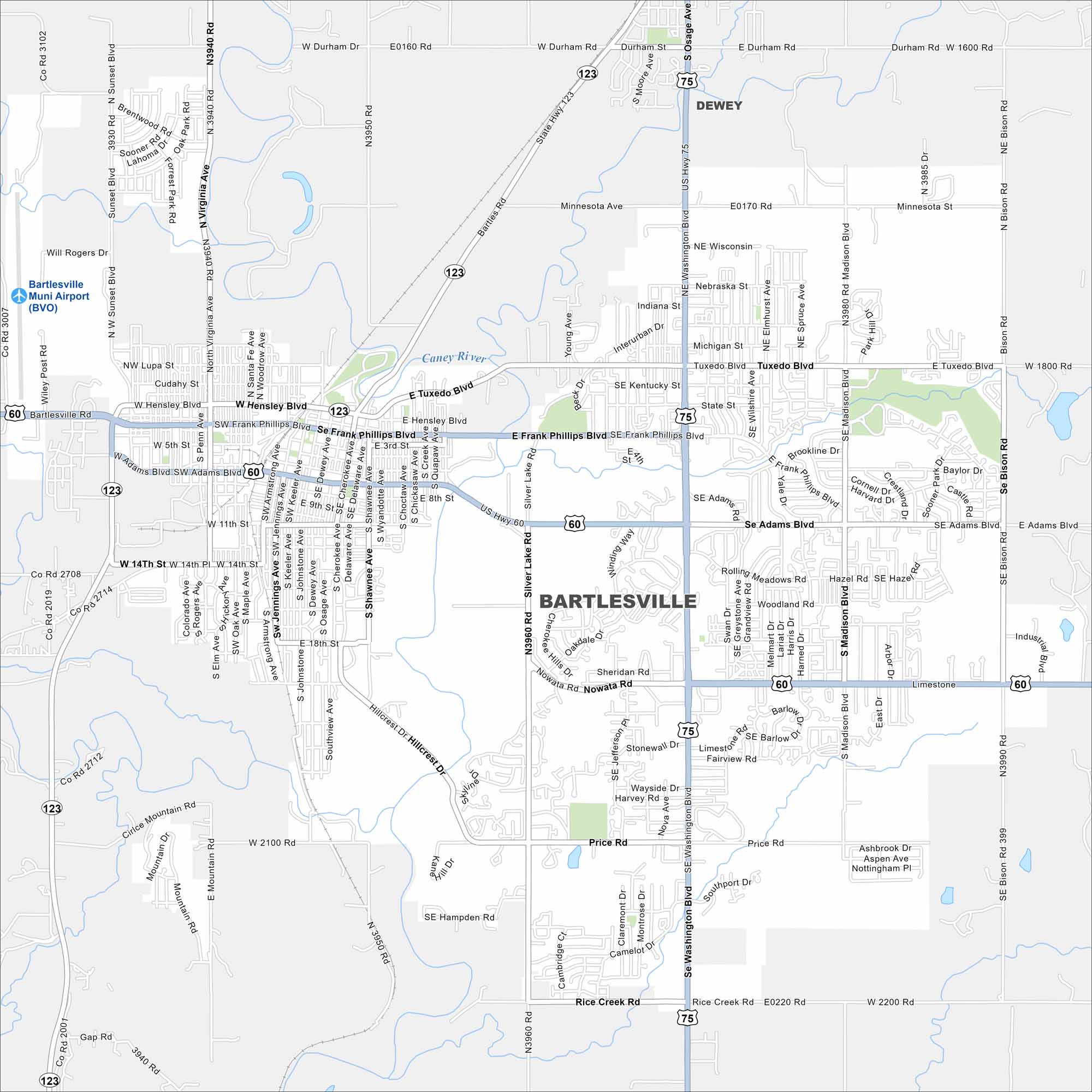
Bartlesville is shown with its highways, streets, and open parkland. You can follow the roads north of Tulsa using our map. The city keeps a unique history such as with its oil heritage and Frank Lloyd Wright’s Price Tower.
Map Information
On the Map
Interstates/Highways: US Hwy 75, US Hwy 60, State Rte 123 Major Roads: Frank Phillips Blvd, Adams Blvd, Nowata Rd, Washington Blvd, Price Rd, Rice Creek Rd, Hensley Blvd, Tuxedo Blvd, Madison Blvd, Bison Rd, Sunset Blvd, Virginia Ave, Silver Lake Rd, Hillcrest Dr, Sheridan Rd, Wayside Dr, Lariat Dr, Woodland Rd, Rolling Meadows Rd, Minnesota Ave Airports: Bartlesville Muni Airport (BVO) Major Rivers: Caney River Nearby Communities: DeweyOklahoma State Maps
Here is our map collection of the Sooner State.


City Maps of Oklahoma
Explore Oklahoma’s cities with our maps


