Map of Waterloo, Iowa
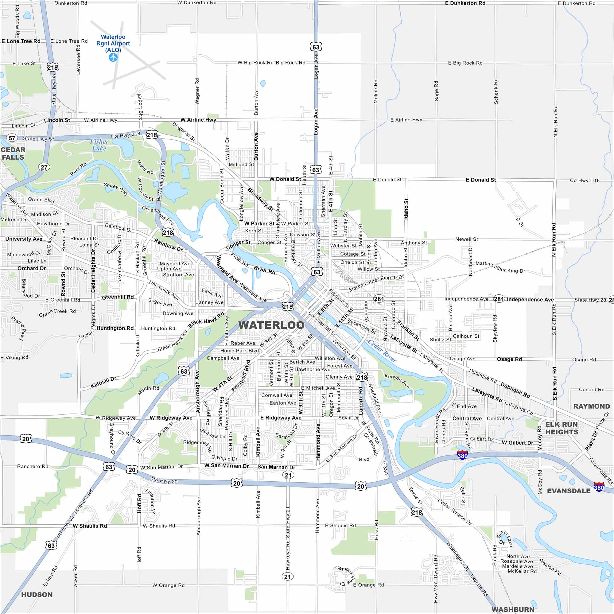
Our map of Waterloo shows you around the Cedar Valley. It’s a city with industrial roots, museums, and riverfront parks. Don’t forget how the Cedar River cuts through diagonally.


Map Information
On the Map
Interstates/Highways: I-380, US Hwy 218, US Hwy 63, US Hwy 20, State Hwy 58, State Hwy 57, State Hwy 27, State Hwy 281, State Hwy 21 Major Roads: Ridgeway Ave, San Marnan Dr, University Ave, Shaulis Rd, Donald St, Airline Hwy, Dunkerton Rd, Independence Ave, Orange Rd, La Porte Rd, Ansborough Ave, Greenhill Rd, Broadway St, Logan Ave, 4th St, 11th St, Mitchell Ave, Kimball Ave, Hammond Ave, Sergeant Rd Airports: Waterloo Rgnl Airport (ALO) Lakes and Reservoirs: Fisher Lake Major Rivers: Cedar River Nearby Communities: Cedar Falls, Evansdale, Elk Run Heights, Raymond, Hudson, WashburnIowa City Maps
Browse city maps in the state of Iowa


