Map of Bedford, Texas
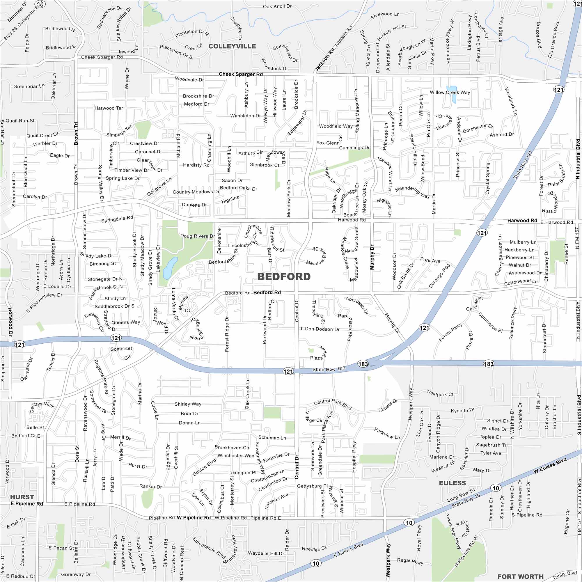
Explore Bedford in the Dallas-Fort Worth area. Our map shows its highways, roads and parks. It’s part of the Mid-Cities region.
Map Information
On the Map
Interstates/Highways: I-10, I-121, I-183, State Hwy 121, State Hwy 183, State Hwy 10 Major Roads: Harwood Rd, Bedford Rd, Pipeline Rd, Central Dr, Forest Ridge Dr, Murphy Dr, Cheek Sparger Rd, Industrial Blvd, Cummings Dr, Meadow Park Dr, Brown Trl, Cummings Dr, L Don Dodson Dr, Westpark Ct, Tibbets Dr, Parkview Ln, Shady Ln, Oak Creek Ln, Spring Lake Dr, Woodfield Way Nearby Communities: Colleyville, Hurst, Euless, Fort WorthTexas State Maps
Scan our maps of the massive southern state of Texas.


City Maps of Texas
Explore our map collection of Texas cities.


