Map of Bentonville, Arkansas
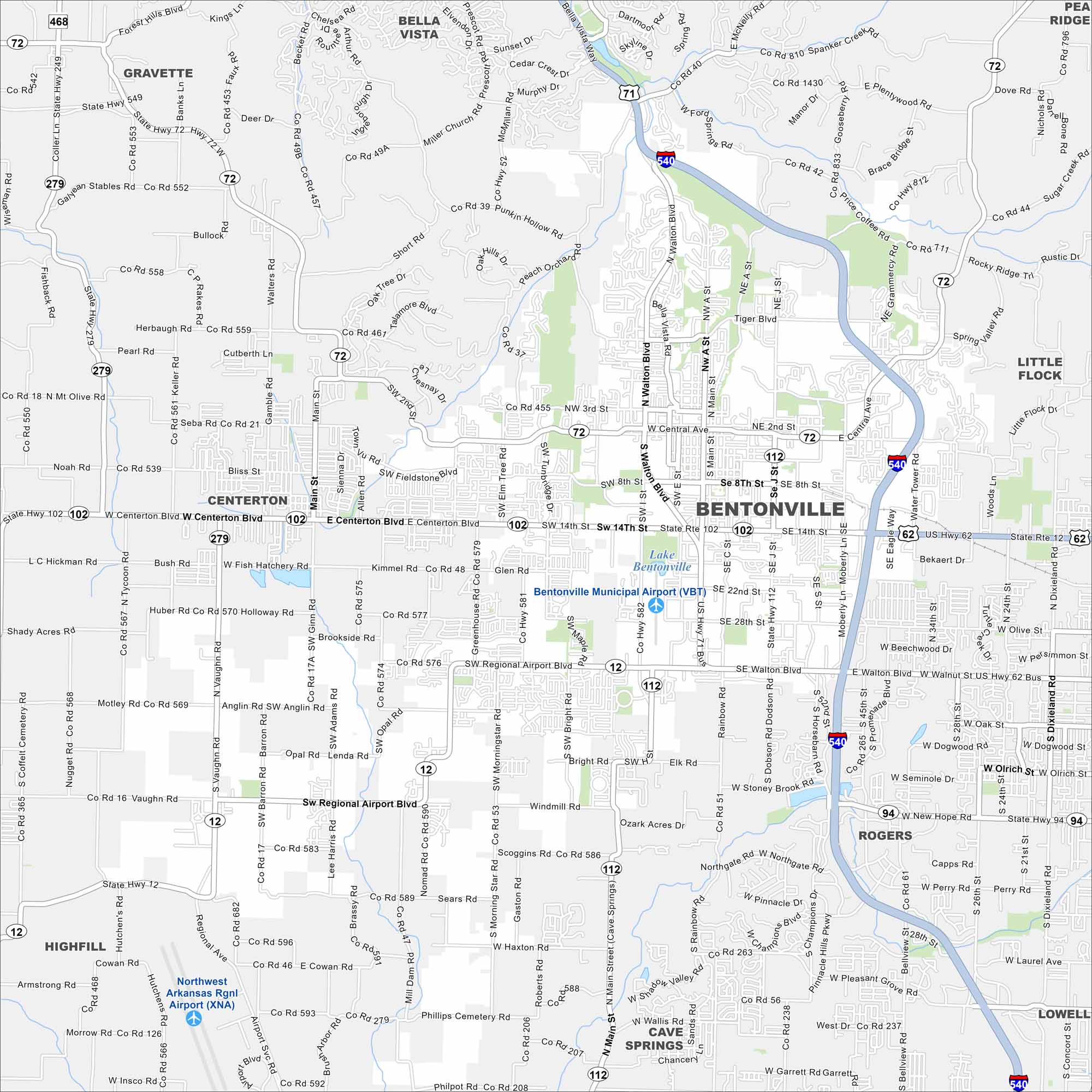
Explore Bentonville on our map in northwest Arkansas. The map includes roads, green spaces, and major highways. It’s widely recognized because it’s the home of Walmart’s headquarters.
Arkansas State Maps
Check out our Arkansas maps here


Map Information
On the Map
Interstates/Highways: I-540, US Hwy 71, US Hwy 62, State Hwy 12, State Hwy 72, State Hwy 102, State Hwy 112, State Hwy 279, State Hwy 94 Major Roads: Walton Blvd, Centerton Blvd, Regional Airport Blvd, Central Ave, 14th St, 8th St, Moberly Ln, Main St, J St, Tiger Blvd, Greenhouse Rd, Vaughn Rd, Bright Rd, Rainbow Rd, Water Tower Rd, Eagle Way, Otis Corley Rd, Morning Star Rd, Barron Rd, Ginn Rd Airports: Bentonville Municipal Airport (VBT), Northwest Arkansas Rgnl Airport (XNA) Lakes and Reservoirs: Lake Bentonville Nearby Communities: Bella Vista, Gravette, Centerton, Highfill, Cave Springs, Rogers, Lowell, Little Flock, Pea RidgeArkansas City Maps
Discover Arkansas through our city maps


