Map of Blaine, Minnesota
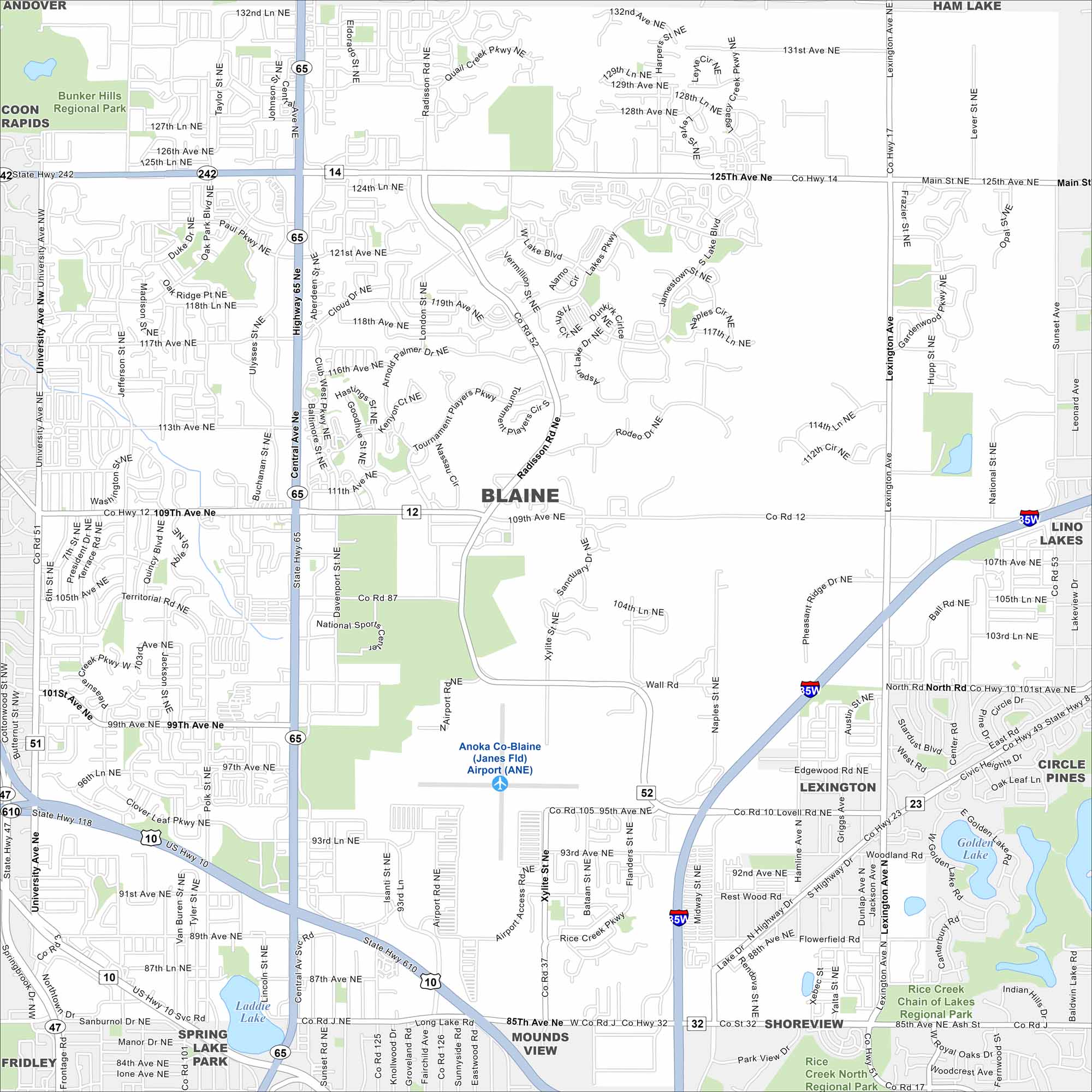
Our map of Blaine shows the highways, streets, and nearby lakes. Roads spread out here into the Twin Cities metro. Blaine is known for its sports complexes and parkland.
Map Information
On the Map
Interstates/Highways: US Hwy 10, State Rte 65 Major Roads: Central Ave, University Ave, Main St, 125th Ave, 109th Ave, Radisson Rd, Lexington Ave, Naples St, Hanson Blvd, Bunker Lake Blvd, 85th Ave, 93rd Ave, 95th Ave, 99th Ave, 101st Ave, 117th Ave, 121st Ave, Club West Pkwy, Cloud Dr, Lakes Pkwy Airports: Anoka Co-Blaine Airport (ANE) Lakes and Reservoirs: Golden Lake, Laddie Lake Parks and Preserves: Bunker Hills Regional Park, Rice Creek Chain of Lakes Regional Park Nearby Communities: Andover, Ham Lake, Coon Rapids, Lino Lakes, Circle Pines, Lexington, Shoreview, Mounds View, Spring Lake Park, FridleyMinnesota State Maps
Explore every lake in our state maps of Minnesota


Minnesota City Maps
Browse through our city maps of Minnesota


