Map of Boerne, Texas
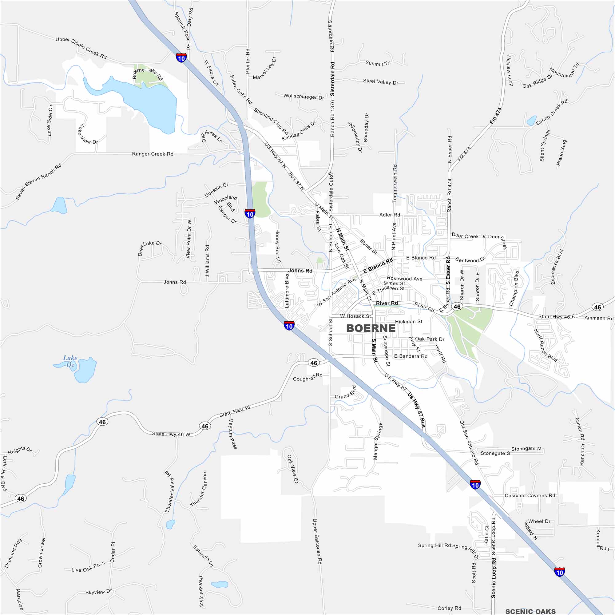
Boerne is shown with its highways, streets, and parks. Roads lead into the Texas Hill Country but still its a small town at heart. Boerne is known for its German heritage and riverside setting.
Map Information
On the Map
Interstates/Highways: I-10, US Hwy 87, State Hwy 46 Major Roads: Main St, Blanco Rd, San Antonio Ave, River Rd, Johns Rd, Sisterdale Rd, Esser Rd, School St, Bandera Rd, Shooting Club Rd, Fabra St, Ranger Creek Rd, Cascade Caverns Rd, Scenic Loop Rd, Adler Rd, Topperwein Rd, Plant Ave, Hickman St, Schweppe St, Herff Rd Lakes and Reservoirs: Boerne Lake, Lake Oz Nearby Communities: Scenic OaksTexas State Maps
Scan our maps of the massive southern state of Texas.


City Maps of Texas
Explore our map collection of Texas cities.


