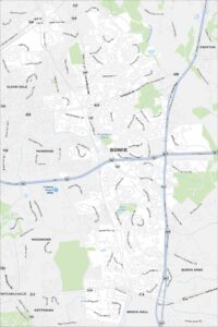
Map of Bowie, Maryland
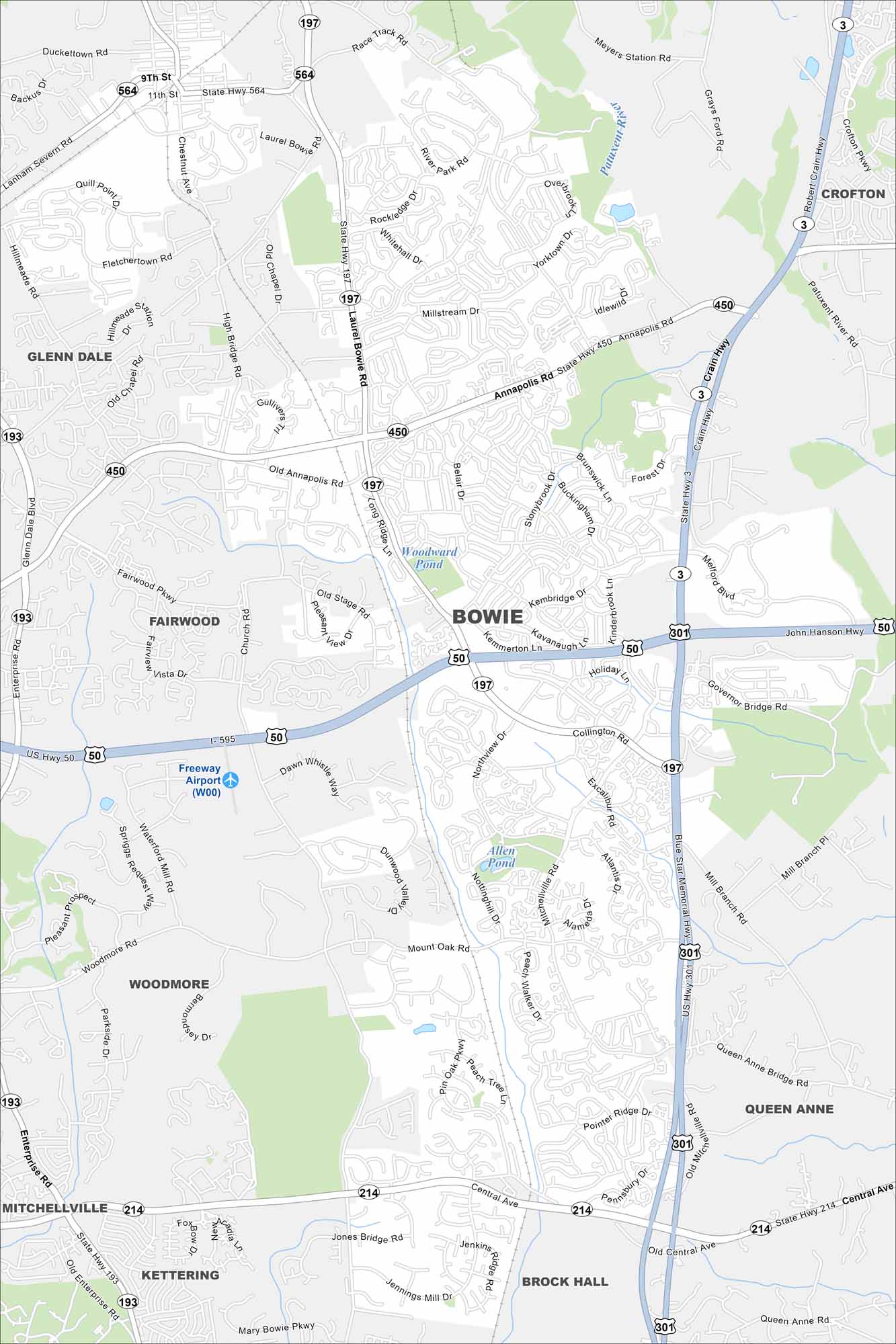
Explore Bowie on our map between Washington and Baltimore. Parks, lakes, and suburban streets fill the area. It has a central location in the region.
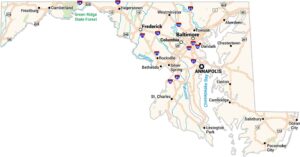
Maryland State Maps
See the geography of Maryland with our state maps


Map Information
On the Map
Interstates/Highways: I-595, US Hwy 50, US Hwy 301, State Hwy 3, State Hwy 193, State Hwy 197, State Hwy 214, State Hwy 450, State Hwy 564, Crain Hwy, Blue Star Memorial Hwy Major Roads: Annapolis Rd, Laurel Bowie Rd, Central Ave, Collington Rd, Mitchellville Rd, Pointer Ridge Dr, Race Track Rd, Mount Oak Rd, Woodmore Rd, Enterprise Rd, Fairwood Pkwy, High Bridge Rd, Church Rd, Belair Dr, Stonybrook Dr, Kenhill Dr, Tulip Grove Dr, Peach Walker Dr Airports: Freeway Airport (W00) Lakes and Reservoirs: Woodward Pond, Allen Pond Major Rivers: Patuxent River Nearby Communities: Crofton, Glenn Dale, Fairwood, Woodmore, Queen Anne, Brock Hall, Kettering, MitchellvilleCity Maps of Maryland
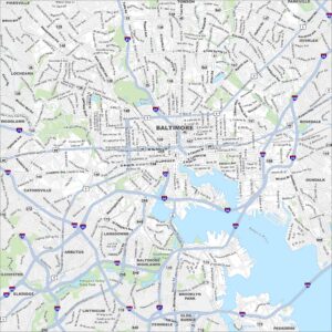
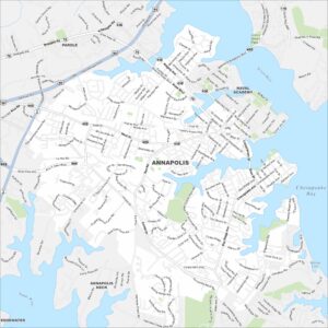
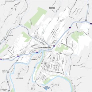
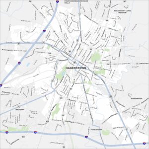
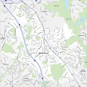
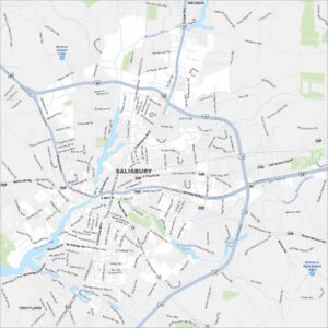
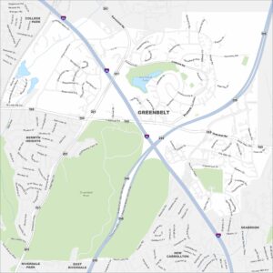
Here are our city maps of Maryland