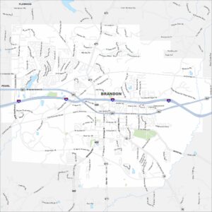
Map of Brandon, Mississippi
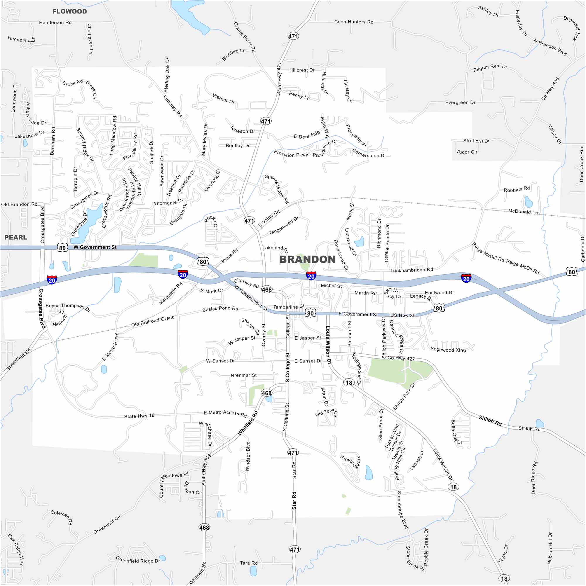
Brandon is east of Jackson with a small-town feel. Take a look at it on our map with neighborhoods spread among trees and lakes. It’s grown tremendously because of its location near the capital.
Map Information
On the Map
Interstates/Highways: I-20, US Hwy 80, State Hwy 18, State Hwy 471, State Hwy 468 Major Roads: Government St, College St, Louis Wilson Dr, Sunset Dr, Jasper St, Crossgates Blvd, Greenfield Rd, Marquette Rd, Value Rd, Luckney Rd, Grants Ferry Rd, Woodgate Dr, Boyce Thompson Dr, Whitfield Rd, Star Rd, Shell Oil Rd, Shiloh Park Dr, Stonebridge Blvd, Hebron Hill Dr, Terrapin Dr Nearby Communities: Pearl, FlowoodMississippi State Maps
Explore maps of Mississippi’s towns, rivers, and roads.


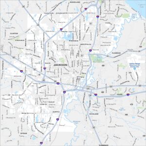
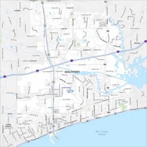
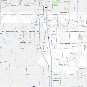
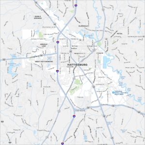
Mississippi City Maps
Discover Mississippi with our city maps