Map of Brooklyn Park, Minnesota
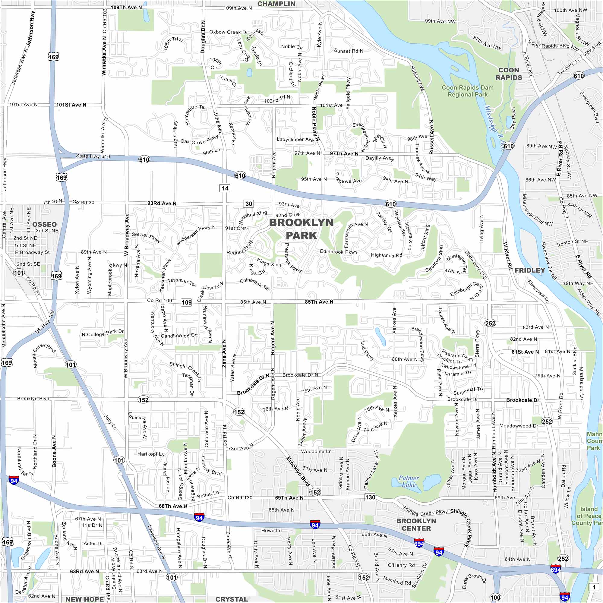
Brooklyn Park is along the Mississippi River, north of Minneapolis. Our map highlights curving roads, parks, and riverfront trails. It’s one of Minnesota’s larger suburbs in the state.
Map Information
On the Map
Interstates/Highways: I-94, US Hwy 169, State Rte 610, State Rte 252 Major Roads: Brooklyn Blvd, 85th Ave, 63rd Ave, 109th Ave, 101st Ave, 93rd Ave, Zane Ave, Broadway Ave, Noble Ave, Winnetka Ave, West Broadway Ave, Shingle Creek Pkwy, Bass Lake Rd, West River Rd, Humboldt Ave, Xerxes Ave, Regent Ave, Boone Ave, 73rd Ave, 71st Ave Lakes and Reservoirs: Palmer Lake Major Rivers: Mississippi River Parks and Preserves: Coon Rapids Dam Regional Park, Islands of Peace County Park Nearby Communities: Champlin, Coon Rapids, Fridley, Brooklyn Center, Crystal, New Hope, OsseoMinnesota State Maps
Explore every lake in our state maps of Minnesota


Minnesota City Maps
Browse through our city maps of Minnesota


