Map of Burnsville, Minnesota
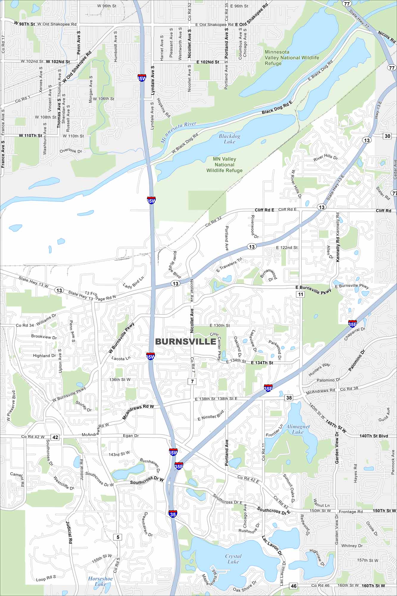
Check out our map of Burnsville, just south of Minneapolis. It highlights lakes, parks, and the Minnesota River forming the city’s edge. Burnsville has grown quickly because of its location near major routes.
Map Information
On the Map
Interstates/Highways: I-35W, I-35E, I-35, State Rte 13, State Rte 77 Major Roads: Burnsville Pkwy, Nicollet Ave, Portland Ave, McAndrews Rd, Cliff Rd, Co Rd 11, Co Rd 5, Co Rd 38, Black Dog Rd, Travelers Trl, Southcross Dr, 130th St, 140th St, Lac Lavon Dr, Judicial Rd, Penn Ave, 122nd St Airports: Lakes and Reservoirs: Blackdog Lake, Alimagnet Lake, Crystal Lake, Horseshoe Lake Major Rivers: Minnesota River Parks and Preserves: MN Valley National Wildlife Refuge Nearby Communities: Bloomington, Eagan, Apple Valley, Savage, LakevilleMinnesota State Maps
Explore every lake in our state maps of Minnesota


Minnesota City Maps
Browse through our city maps of Minnesota


