Map of Chelsea, Massachusetts
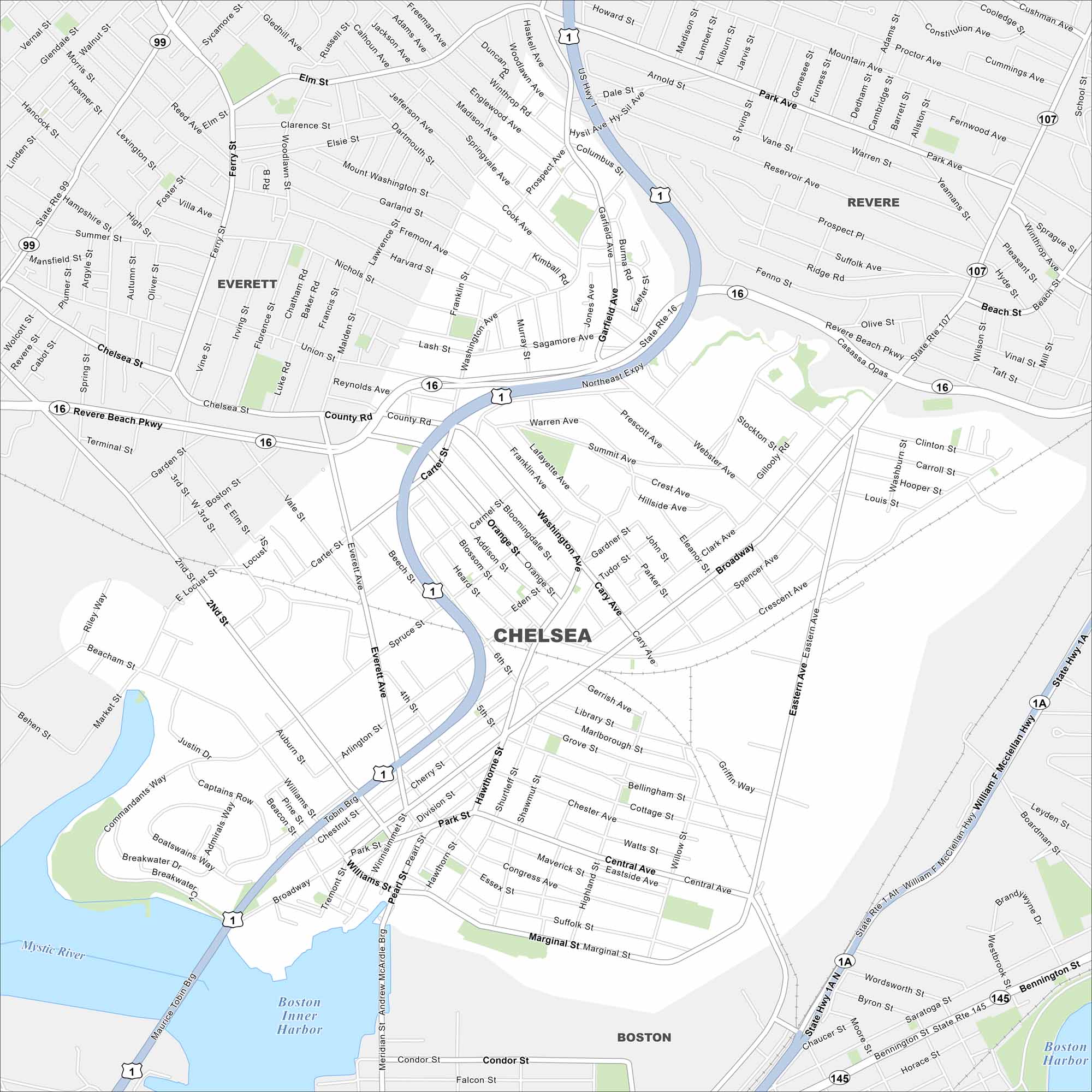
Our map of Chelsea shows dense streets, major routes, and the Mystic River shoreline. Directly north of Boston, it’s one of the state’s smallest cities by land area. The river has long shaped its industry.
Map Information
On the Map
Interstates/Highways: US Hwy 1, State Rte 16, State Rte 1A, State Rte 107, State Rte 99 Major Roads: Broadway, Revere Beach Pkwy, Northeast Expy, William F McClellan Hwy, Marginal St, Eastern Ave, Washington Ave, Central Ave, Chelsea St, Everett Ave, Park St, Pearl St, Second St, Beach St, County Rd, Summit Ave, Cary Ave, Hawthorn St, Shurtleff St, Congress Ave Lakes and Reservoirs: Boston Inner Harbor, Boston Harbor Major Rivers: Mystic River Nearby Communities: Boston, Revere, EverettMassachusetts State Maps
Here’s our state maps of Massachusetts


City Maps of Massachusetts
Explore Boston and other urban areas in Massachusetts


