Map of Coppell, Texas
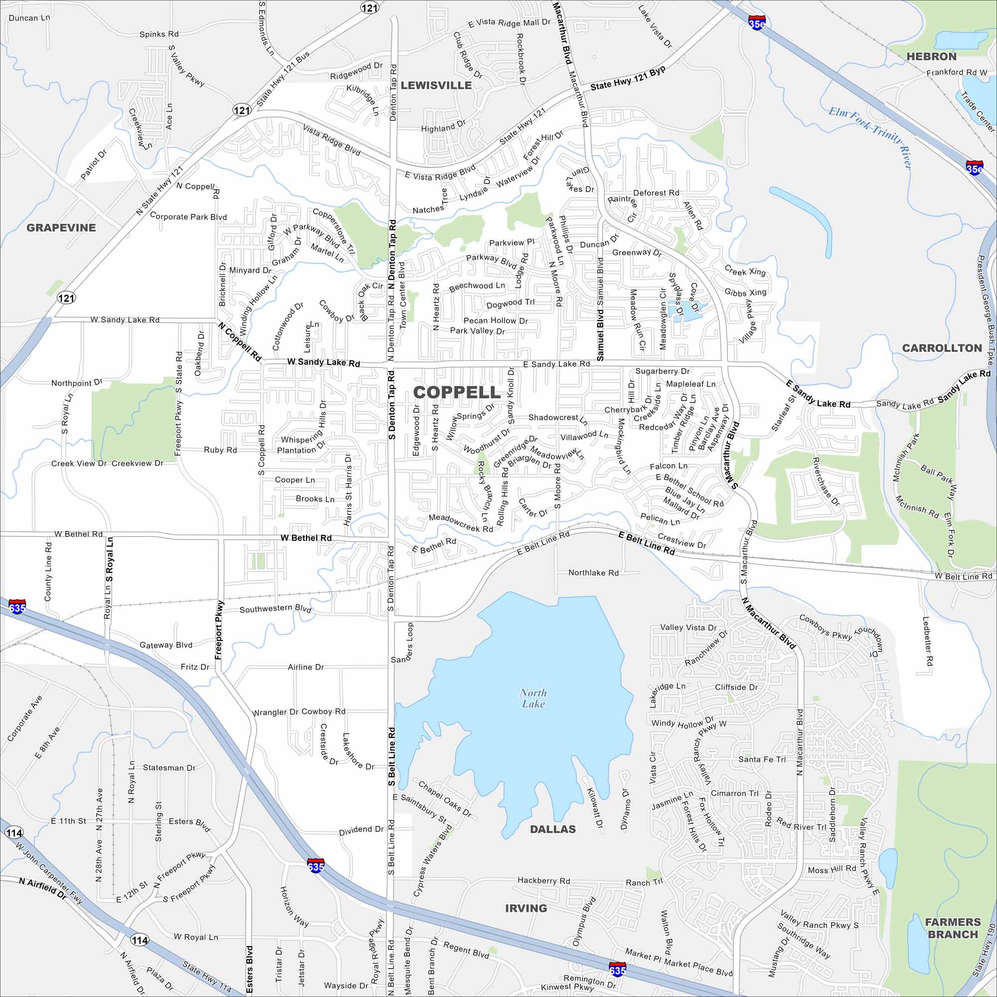
Our map of Coppell outlines local streets, highways, and green spaces. It’s part of the Dallas-Fort Worth metroplex, and sits near Grapevine Lake. It also has easy airport access to Dallas Fort Worth International Airport.
Map Information
On the Map
Interstates/Highways: I-635, State Rte 121, State Rte 114 Major Roads: Belt Line Rd, Sandy Lake Rd, Denton Tap Rd, MacArthur Blvd, Freeport Pkwy, Royal Ln, Bethel Rd, Coppell Rd, Parkway Blvd, Mockingbird Ln, Samuel Stewart Rd, Valley Vista Dr, Ranchview Dr, Cliffside Dr, Santa Fe Trl, Moore Rd, Heartz Rd, Southwestern Blvd, Wrangler Dr, Airfield Dr Lakes and Reservoirs: North Lake Major Rivers: Elm Fork Trinity River Nearby Communities: Lewisville, Hebron, Carrollton, Farmers Branch, Irving, Grapevine, DallasTexas State Maps
Scan our maps of the massive southern state of Texas.


City Maps of Texas
Explore our map collection of Texas cities.


