Map of Corsicana, Texas
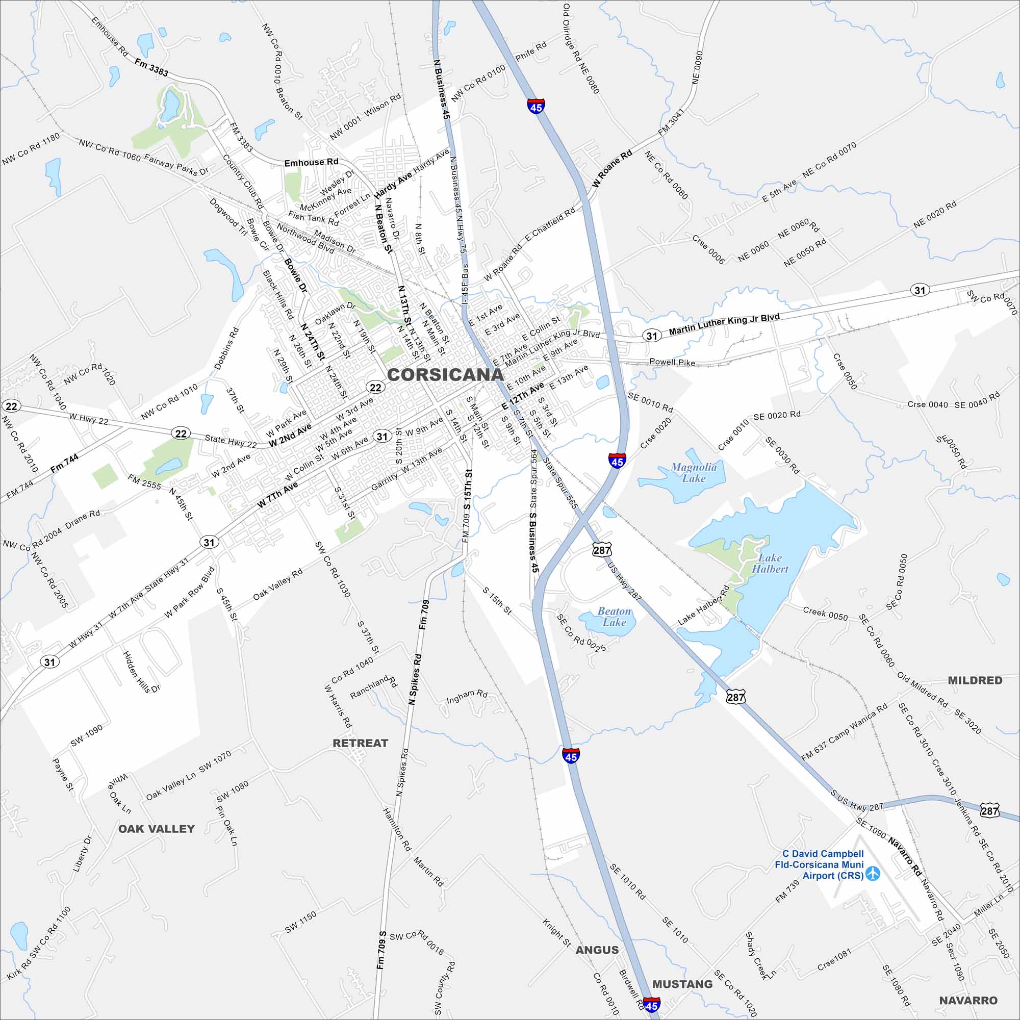
Here’s Corsicana mapped with its streets, highways, and nearby lakes. It’s not too far from Dallas to the south. The city was once an early oil boomtown. But today, it’s known for its rolling hills and lakes landscape.
Map Information
On the Map
Interstates/Highways: I-45, US Hwy 287, US Hwy 31, State Hwy 22 Major Roads: 7th Ave., 2nd Ave., Beaton St., Main St., Business 45, FM 709, FM 3383, Oak Valley Rd., 45th St., 24th St., 15th St., W Roane Rd., Emhouse Rd., Country Club Rd., Drane Rd Airports: C David Campbell Fld-Corsicana Muni Airport (CRS) Lakes and Reservoirs: Lake Halbert, Beaton Lake, Magnolia Lake Nearby Communities: Emhouse, Retreat, Oak Valley, Angus, Mustang, Mildred, NavarroTexas State Maps
Scan our maps of the massive southern state of Texas.


City Maps of Texas
Explore our map collection of Texas cities.


