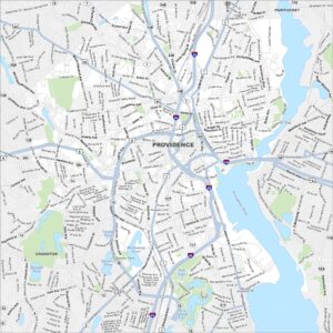
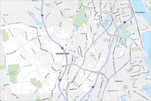
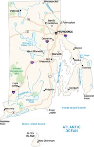
Map of Cranston, Rhode Island
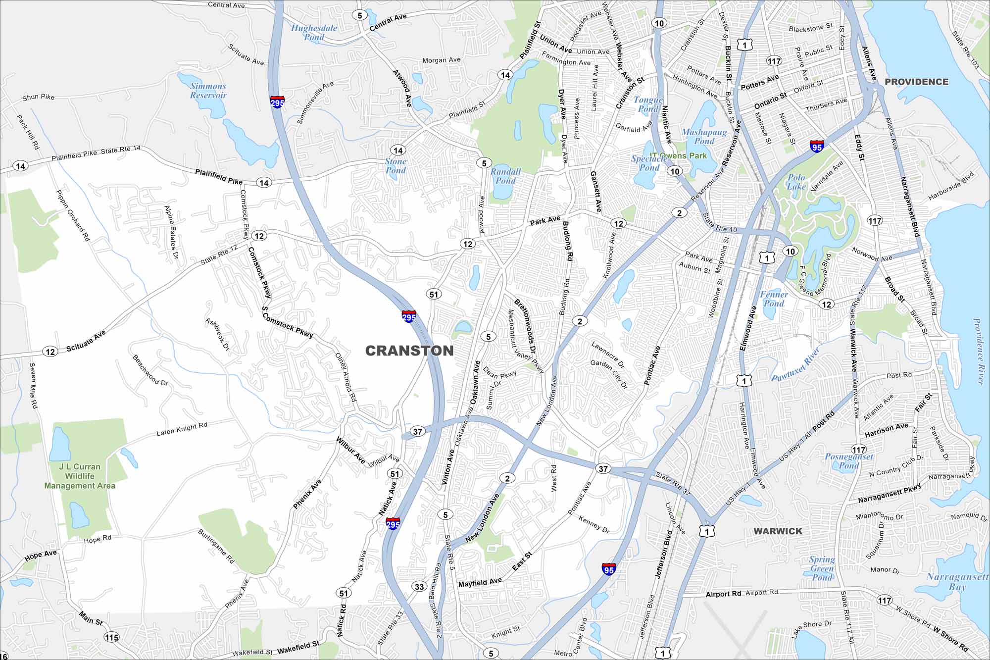
Our map of Cranston has its local roads, highways, and nearby ponds. It’s located south of Providence with tons of open green spaces.
Map Information
On the Map
Interstates/Highways: I-95, I-295, US Hwy 1, US Hwy 1 Alt, State Rte 2, State Rte 5, State Rte 10, State Rte 12, State Rte 14, State Rte 33, State Rte 37, State Rte 51, State Rte 117 Major Roads: Reservoir Ave, Pontiac Ave, Park Ave, Cranston St, Elmwood Ave, Narragansett Pkwy, Broad St, Plainfield Pike, Scituate Ave, Phenix Ave, Natick Ave, Wilbur Ave, Oaklawn Ave, New London Ave, Comstock Pkwy, Budlong Rd, Gansett Ave, Niantic Ave, Dyer Ave, Warwick Ave Airports: Theodore Francis Green State Airport (PVD) Lakes and Reservoirs: Simmons Reservoir, Hughesdale Pond, Stone Pond, Randall Pond, Mashapaug Pond, Spectacle Pond, Tongue Pond, Fenner Pond, Deep Spring Lake, Polo Lake, Posneganset Pond, Warwick Pond, Spring Green Pond, Narragansett Bay Major Rivers: Pawtuxet River, Pocasset River Parks and Preserves: J L Curran Wildlife Management Area Nearby Communities: Providence, WarwickRhode Island State Maps
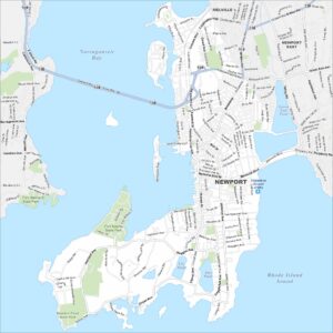
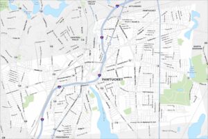
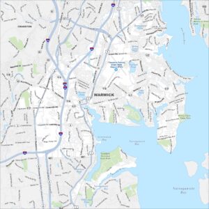
Here are our maps of this compact coastal state.


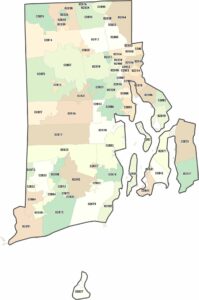
City Maps of Rhode Island
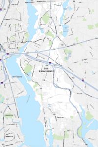
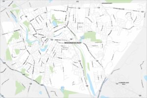
Chart your path through Rhode Island’s cities and towns