Map of Denison, Texas
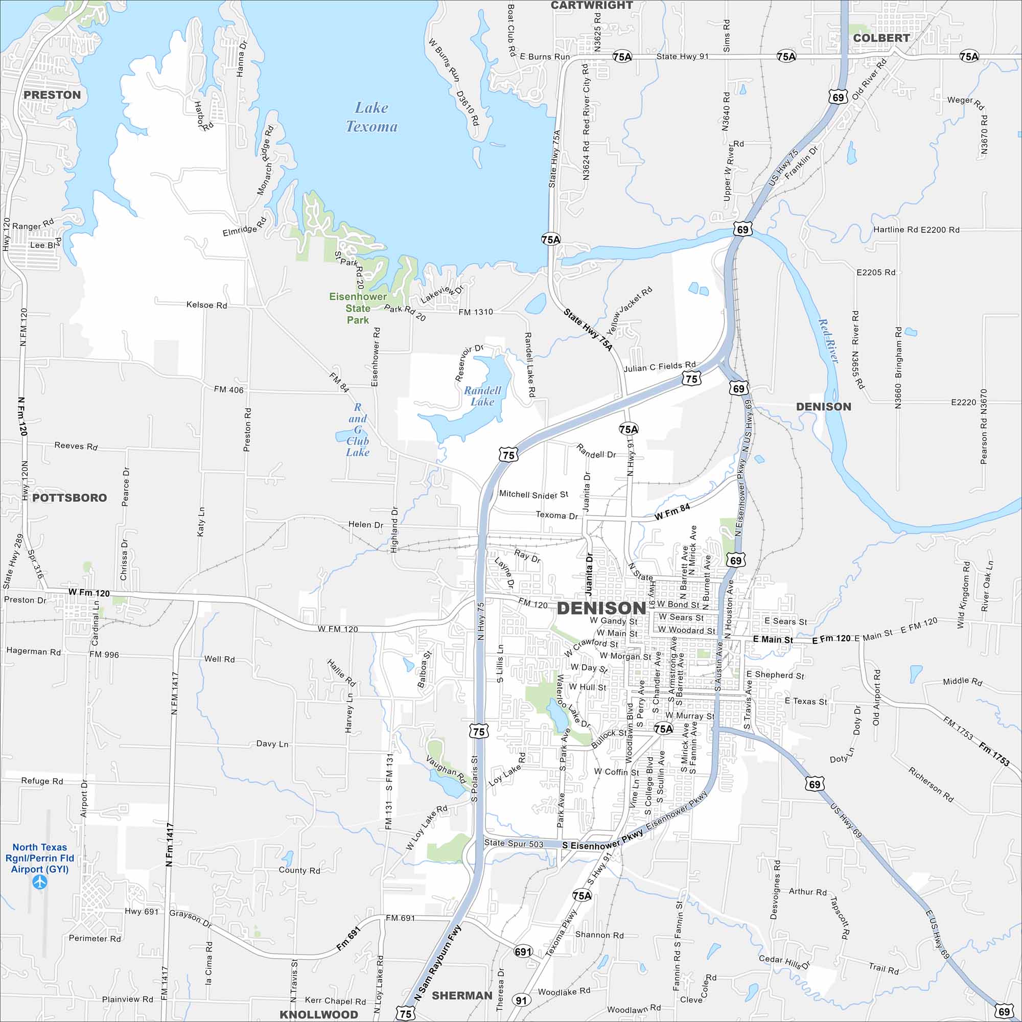
Our map of Denison shows this city located along the Red River near the Oklahoma border. Lake Texoma stands out just north. Denison is known as the birthplace of President Dwight D. Eisenhower.
Map Information
On the Map
Interstates/Highways: US Hwy 75, US Hwy 69, State Hwy 91, State Hwy 75A, State Spur 503 Major Roads: Main St, Eisenhower Pkwy, Texoma Dr, Morton St, Crawford St, FM 120, FM 131, FM 1417, FM 691, FM 84, FM 406, FM 1310, Waterloo Lake Dr, Woodlawn Blvd, Loy Lake Rd, Lillis Ln, Austin Ave, Armstrong Ave, Barrett Ave, Mirick Ave Airports: North Texas Rgnl/Perrin Fld Airport (GYI) Lakes and Reservoirs: Lake Texoma, Randell Lake, Waterloo Lake, R and G Club Lake Major Rivers: Red River Parks and Preserves: Eisenhower State Park Nearby Communities: Sherman, Pottsboro, Preston, Knollwood, Cartwright, ColbertTexas State Maps
Scan our maps of the massive southern state of Texas.


City Maps of Texas
Explore our map collection of Texas cities.


