Map of Denver, Colorado
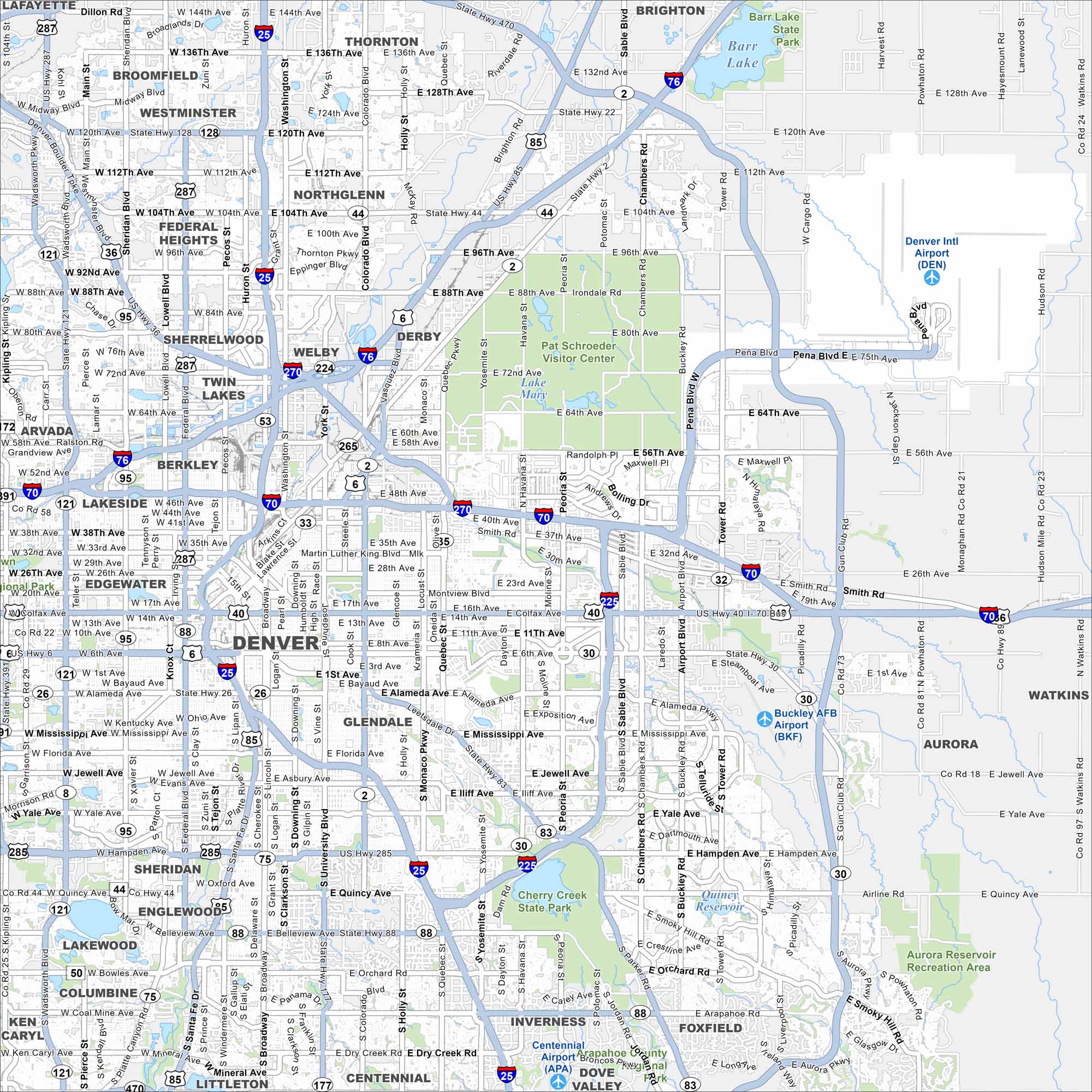
Denver is at the base of the Rocky Mountains in central Colorado. Our map shows a broad grid with I-25 and I-70 crossing the city. It’s often called the Mile High City because of its higher elevation.
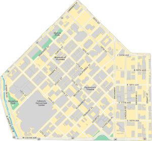
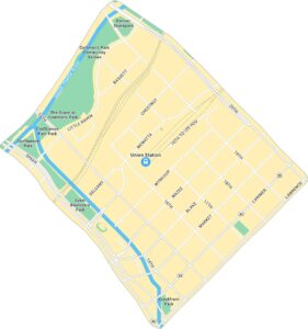
Denver Neighborhood Maps
See our neighborhood maps for a closer look of the city.
Colorado State Maps
Browse Colorado with our detailed state maps


Map Information
On the Map
Interstates/Highways: I-25, I-70, I-76, I-225, I-270, US Hwy 36, US Hwy 287, US Hwy 85, US Hwy 6, US Hwy 40, State Rte 121, State Rte 95, State Rte 88, State Rte 30, State Rte 2, State Rte 470 Major Roads: Colfax Ave, Broadway, Colorado Blvd, Federal Blvd, Sheridan Blvd, University Blvd, Monaco Pkwy, Quebec St, Havana St, Peoria St, Chambers Rd, Tower Rd, 120th Ave, 104th Ave, 92nd Ave, 88th Ave, 56th Ave, Alameda Ave, Hampden Ave, Belleview Ave Airports: Denver Intl Airport (DEN), Buckley AFB Airport (BKF), Centennial Airport (APA) Lakes and Reservoirs: Barr Lake, Lake Mary, Quincy Reservoir, Aurora Reservoir Major Rivers: South Platte River Parks and Preserves: Cherry Creek State Park, Barr Lake State Park, Aurora Reservoir Recreation Area, Pat Schroeder Visitor Center Nearby Communities: Westminster, Thornton, Northglenn, Arvada, Wheat Ridge, Lakewood, Englewood, Aurora, Littleton, Centennial, Commerce City, BrightonColorado City Maps
Here are maps of Colorado’s urban areas


