Map of DeSoto, Texas
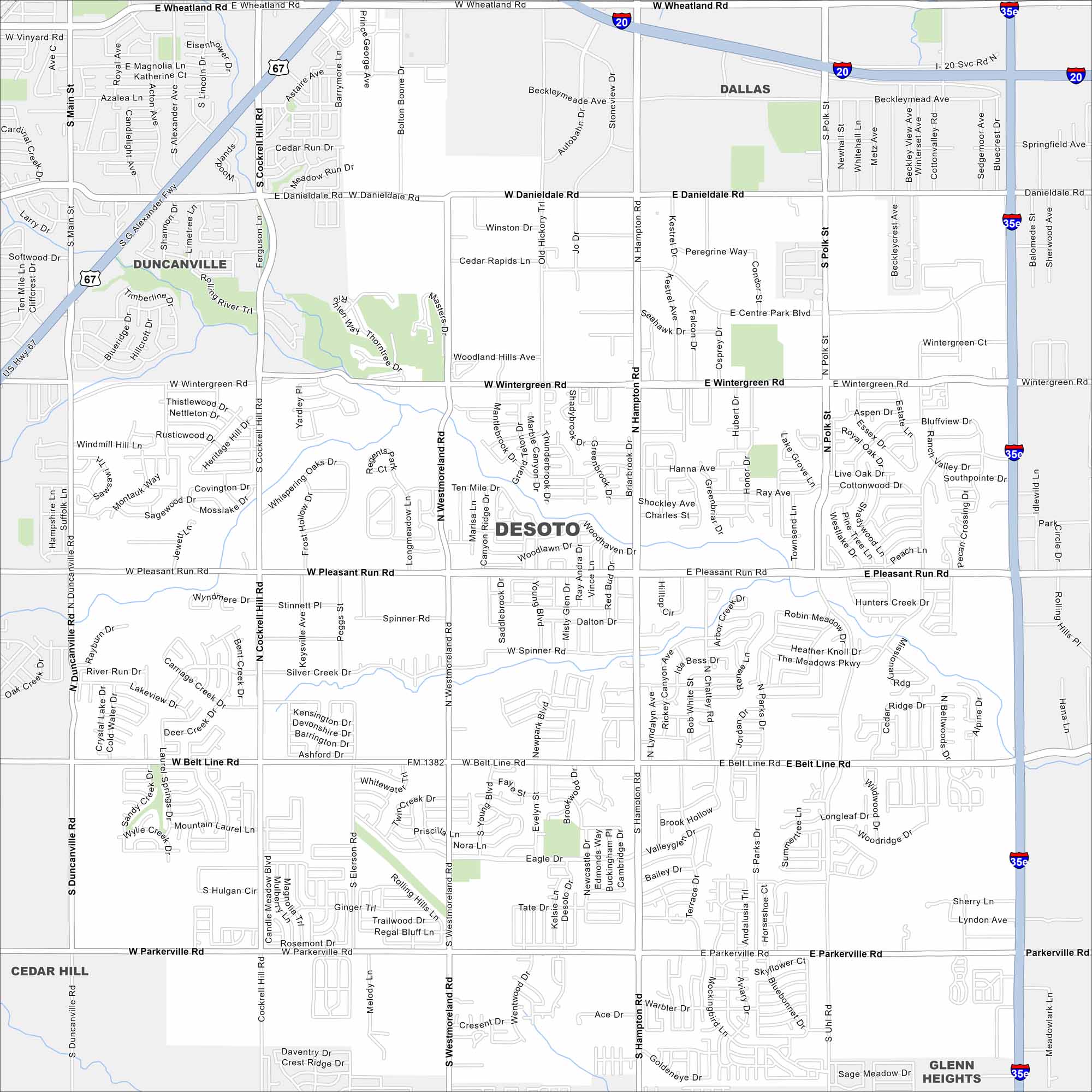
Our map of DeSoto shows its urban layout just south of Dallas. Green spaces break up the neighborhoods, with main roads linking back into the metro. Its spot makes it part of the greater Dallas-Fort Worth area.
Map Information
On the Map
Interstates/Highways: I-20, I-35E, US Hwy 67 Major Roads: Belt Line Rd, Pleasant Run Rd, Danieldale Rd, Wintergreen Rd, Parkerville Rd, Westmoreland Rd, Hampton Rd, Polk St, Cockrell Hill Rd, Main St, Duncanville Rd, Wheatland Rd, Centre Park Blvd Nearby Communities: Dallas, Duncanville, Cedar Hill, Glenn HeightsTexas State Maps
Scan our maps of the massive southern state of Texas.


City Maps of Texas
Explore our map collection of Texas cities.


